| Online link | https://cmgds.marine.usgs.gov/catalog/whcmsc/open_file_report/ofr2002-002/lis1992_meta.faq.html |
|---|---|
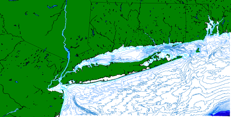
| Description | This bathymetric contour data set was derived from a gridded data set obtained from URI (B.Tyce, G. Hatcher). They used the "Gridder" program to obtain the grid. This gridded data set was generated from the original NOS soundings from 9 track tape that was cleaned up and edited at URI. This work was done with the intention of producing the color poster called "Long Island Sound Estuary" (Connecticut Dept. of Environmental Protection"), 1993. The accuracy is questionable. |
| Originators | Schmuck, Eric; Poppe, Lawrence J.; and Paskevich, Valerie F. |
