| Description |
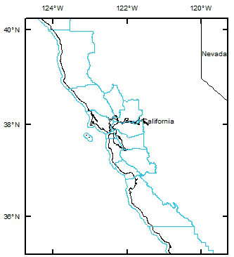
Shapefile for 492 Coastal Zone Management Program (CZMP) counties and county equivalents, 2009, extracted from the U.S. Census Bureau's MAF/TIGER database of U.S. counties and cross-referenced to a list of CZMP counties published by the NOAA/NOS Office of Ocean and Coastal Resource Management (OCRM). Data extent to the nearest quarter degree is 141.00 E to 64.50 W longitude and 14.75 S to 71.50 N latitude. TL2009 in this document refers to metadata content inherited from the original U.S. Census Bureau (2009) TIGER/Line shapefile. TL2009: The TIGER/Line Shapefiles are an extract of selected geographic and cartographic information from the Census MAF/TIGER database. The Census MAF/TIGER database represents a seamless national file with no overlaps or gaps between parts. However, each TIGER/Line Shapefile is designed to stand alone as an independent dataset or the shapefiles can be combined to cover the whole nation. [More]
|
