| Online link | https://cmgds.marine.usgs.gov/catalog/pcmsc/SeriesReports/OFR/OFR_2015-1118/cowbsmg.tif.faq.html |
|---|---|
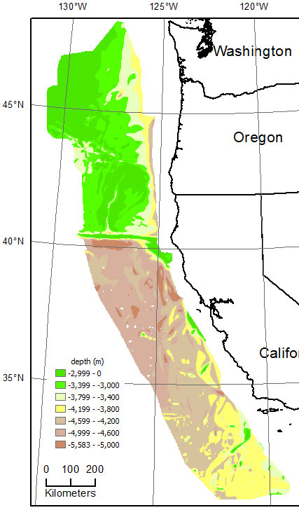
| Description | COWBSMG is a 1000-m resolution grid of depth to basement off of Washington, Oregon, and California constructed from depth to basement contour data (cowbsm.shp, also in this data set) from 1:1,000,000-scale maps (Gardner and others, 1992, 1993a, 1993b). The range in depth to basement in this region is -5582 to -985 m with a mean of -3817 m. |
| Originators | Wong, Florence L. and Grim, Muriel S. |
