Online Links:
Online Links:
| Range of values | |
|---|---|
| Minimum: | 27.28 |
| Maximum: | 4420.247 |
| Units: | meters |
| Value | Definition |
|---|---|
| 207 | Julian day is the integer number representing the interval of time in days since January 1 of the year of collection. |
Online Links:
Online Links:
| Access_Constraints | none |
|---|---|
| Use_Constraints | Public domain data from the U.S. Government are freely redistributable with proper metadata and source attribution. Please recognize the U.S. Geological Survey as the source of this information. |
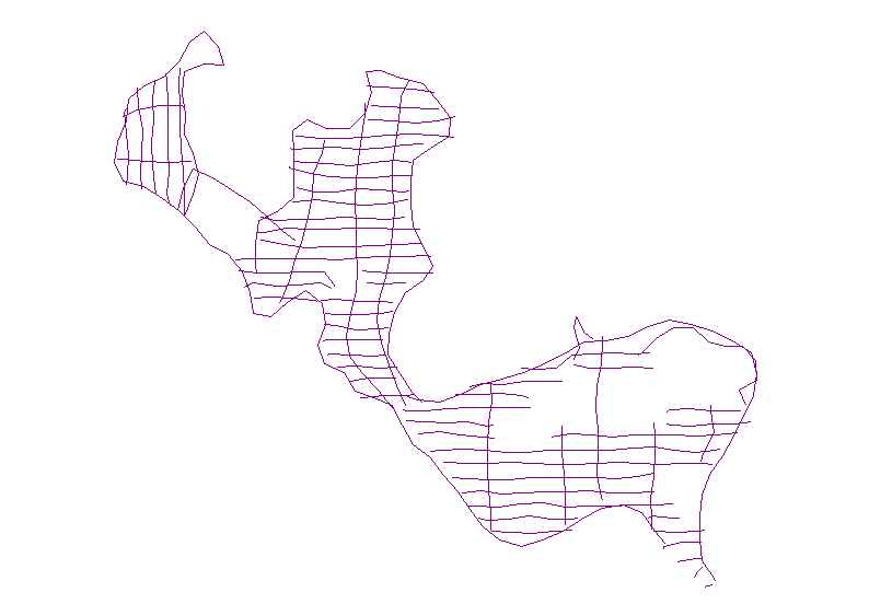
| Data format: | Trackline navigation for Klein 3000 sidescan-sonar data collected by the U.S. Geological Survey in Moultonborough Bay, Lake Winnipesaukee, New Hampshire. This also includes associated metadata and *.csv containing xy coordinates (geographic WGS 84). in format SHP (version ArcGIS 9.0) Esri Polyline Shapefile Size: 0.05 |
|---|---|
| Network links: |
https://cmgds.marine.usgs.gov/data/field-activity-data/2005-004-FA/data/backscatter/2005-004-FA_sonartrk.zip https://cmgds.marine.usgs.gov/data/field-activity-data/2005-004-FA/ https://doi.org/10.5066/F71N7Z4H |
| Data format: | Trackline navigation for Klein 3000 sidescan-sonar data collected by the U.S. Geological Survey in Moultonborough Bay, Lake Winnipesaukee, New Hampshire. This also includes associated metadata and *.csv containing xy coordinates (geographic WGS 84). in format CSV (version 1.0) CSV (comma separated value) ASCII Format Size: 0.05 |
|---|---|
| Network links: |
https://cmgds.marine.usgs.gov/data/field-activity-data/2005-004-FA/data/backscatter/2005-004-FA_sonartrk.zip https://cmgds.marine.usgs.gov/data/field-activity-data/2005-004-FA/ https://doi.org/10.5066/F71N7Z4H |