Logical_Consistency_Report:
This grid represents uninterpolated swath interferometric bathymetry data at 5.0 meter resolution. Quality control and data processing were conducted to remove spurious points and reduce speed of sound artifacts (refraction). Soundings from the surveys were processed and edited using Computer Aided Resource Information System (CARIS) Hydrographic Information Processing System (HIPS; ver. 9.0.6). Although the soundings were edited, small data spikes may still exist.
Completeness_Report:
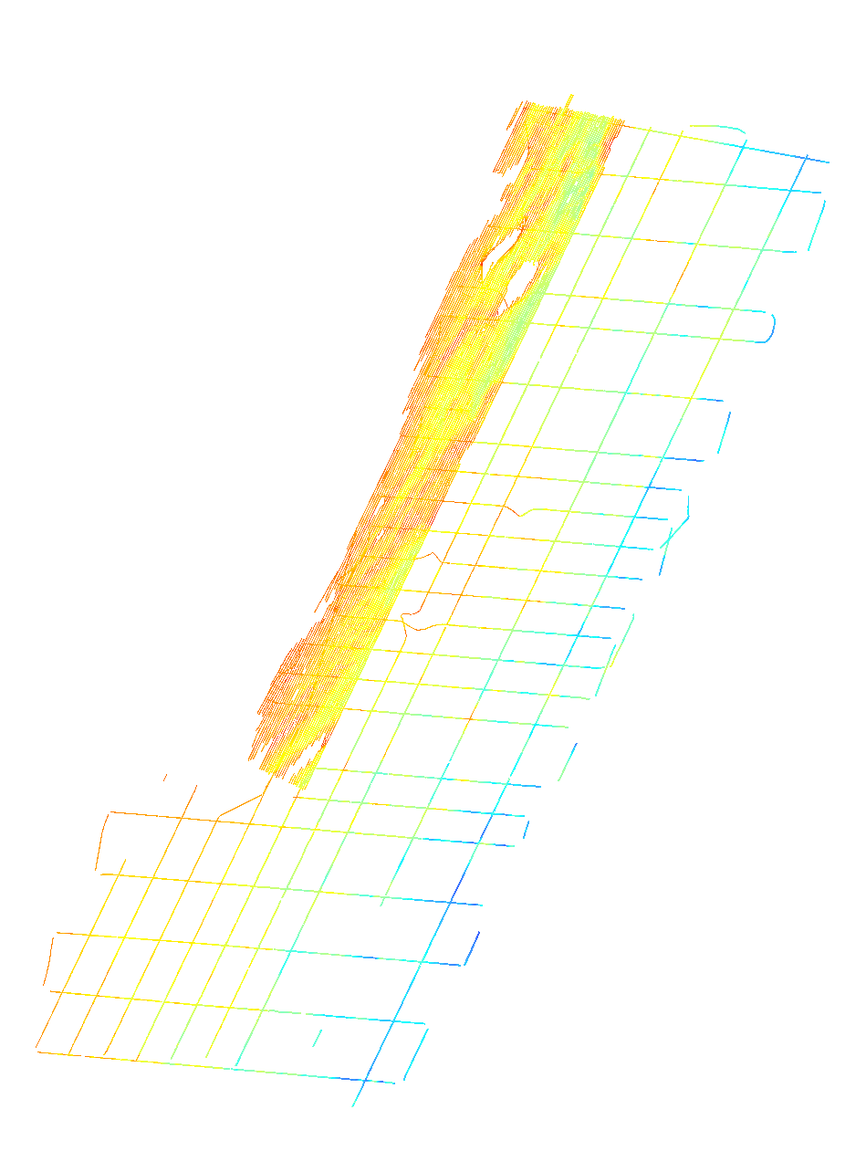
Survey line bathymetry data that were collected within the Delmarva survey area were incorporated in this grid with the exception of the lines listed below. These lines were left out of the final grid either because the data quality were poor, the lines were duplicated or superceded by another line of better data quality, the line was a jog around a shoal and was redundant, or their contribution to the final product was not significant.
l2f5, l5f3, l7f4,l7f5,l19f1-l19f5,l20f3-l20f8,l26f1,l28f1,l30f1,l31f1,l33f1,l35f1,l37f1, l41f1, l43f1, l50f10, l51f1-l5f4, l52f1-l52f2, l100f1-l100f3,l96f1,l103f3,l155f2, l163f3, and t1f1-t13f1.
Positional_Accuracy:
Horizontal_Positional_Accuracy:
Horizontal_Positional_Accuracy_Report:
Navigation was acquired with a Coda Octopus F185 Differential Global Positioning System + Wide Area Augmentation System (DGPS+WAAS), which is accurate to + or - 1 to 2 meters, horizontally and RTK positioning from an Ashtech Proflex 800, which is accurate to less than 1-meter, horizontally. X,Y data are referenced to WGS84. The SWATHPlus transducers were mounted on a rigid pole, approximately 4.195 m below the water line, along the port side of the M/V Scarlett Isabella. The DGPS antenna and an Ashtech ProFlex 800 RTK GPS were located on the same pole approximately 4.6m above the sea surface. RTCM corrections were being delivered via the web (ethernet) to the Ashtech ProFlex 800 from shore stations in MD and VA (ethernet satellite link is from a KVH Mini-VSAT Broadband receiver). The RTK corrections were passed through to the F185R giving the submetrix system kinematic (x,y) positioning accuracy from Julian Day 170 and later. Lines (l1f1-l7f1) collected prior to 20140719 at 12:40:00 UTC were recorded with WAAS-enabled DGPS because the F185 was not receiving RTCM corrections from the Ashtech ProFlex800. Positional offsets from antennae to MRU were corrected within the SWATHPlus acquisition software.
WAAS enabled DGPS accuracy is estimated to be less than 3 m and the accuracy of RTK-GPS is estimated to be less than 1 m.
Vertical_Positional_Accuracy:
Vertical_Positional_Accuracy_Report:
Vertical accuracy of the raw data based on system specifications may approximate 1% of water depth, 0.1 to 0.4 meters within the survey area. However, overall vertical accuracies on the order of 50-cm or better are assumed based on the following considerations: The Coda Octopus F185 Attitude and Positioning system, used to correct for vessel roll, pitch, heave, and yaw, has a theoretical vertical accuracy of a few mm. Tidal offsets were corrected to MLLW using a Zone Tidal Model supplied by the Hydrographic Planning Team at NOAA's National Ocean Service. Zone Tidal Models must conform to IHO standards which is within 30-cm vertical accuracy. Refraction artifacts were minimized by acquiring numerous sound velocity profiles (greater than 500) with a Brooke Ocean MVP30 moving vessel profiler. Sound velocity data are entered into the SWATHPlus acquisition software to model the sound velocity structure of the water column. Gridding algorithms and cell sizes for these data could introduce errors as great as 3m along the edges of the data, but gridding-induced errors are likely much smaller (less than 20cm) for most of the survey area. Changes in ship draft due to water and fuel usage were not considered.
Lineage:
Source_Information:
Source_Citation:
Citation_Information:
Originator: U.S. Geological Survey
Publication_Date: Unpublished Material
Title: raw interferometric data in sxr format
Geospatial_Data_Presentation_Form: raster digital data
Type_of_Source_Media: disc
Source_Time_Period_of_Content:
Time_Period_Information:
Range_of_Dates/Times:
Beginning_Date: 20140618
Ending_Date: 20140722
Source_Currentness_Reference:
ground condition; data were not collected on 20140702-20140704; 20140709; 20140714-20140715 due to weather
Source_Citation_Abbreviation: raw bathymetry
Source_Contribution:
USGS used a 234 kHz Systems Engineering and Assessment Ltd. (SEA) SWATHplus interferometric sonar (now BathySwath) mounted on the port side of the M/V Scarlett Isabella.
Survey lines were run at an average speed of 5 knots and were spaced 200 m apart in the nearshore to approximately 3-km apart in the offshore. Full data coverage was obtained for sidescan sonar data, but not for bathymetric data. The SEA SWATHplus-M (BathySwath-1) operates at a frequency of 234 kHz and a variable range (increased or decreased manually depending on water depth, but generally 85 m on both sides). The system was operated with a transmit power of 80 percent, a transmit length of 43 cycles, and 4096 samples per channel. Sound-velocity profiles were collected continuously with an ODIM MVP30 moving vessel profiler. Tides were corrected using a zone tidal model with observed tides from gauges in Atlantic City, NJ; Lewes, DE; Chesapeake Bay-Bridge-Tunnel, VA; and Duck, NC.
Process_Step:
Process_Description:
Each raw BathySwath bathymetric sonar file (sxr) was converted to a processed file (sxp) using BathySwath Processor (vers. 3.10.0.2; this new version allows the import of nearly an unlimited number of sound velocity profiles. This makes the process of recreating sxp files much easier if the data need reprocessing - which they did for this survey). During the conversion process, sound velocity profiles were used to minimize potential refraction artifacts from fluctuations in the speed of sound within the water column. Several bathymetric filters were applied to remove erroneous soundings and reduce the density of the data. Observed tidal corrections were applied later in the processing flow after observed tides were released from NOAA's Tides and Currents website, which is typically a 2-4 week lag. Bathymetric filtering typically included low amplitude (100%), range (0-4m), box (3-50m depth, 1.5-75m horizontal), median (window size 5), alongtrack 1 (depth difference of 5-m, window size 5-m, and learn rate of 0.7), alongtrack 2 (depth difference of 1.5-m, window size 1m, and learn rate of 0.9), and mean filters (0.25m). These represent the typical parameters used for the majority of the USGS surveys although the values may have been adjusted slightly for specific parts of the survey area.
Process_Date: 20140730
Process_Contact:
Contact_Information:
Contact_Person_Primary:
Contact_Person: Elizabeth Pendleton
Contact_Organization: U.S. Geological Survey
Contact_Position: Geologist
Contact_Address:
Address_Type: mailing and physical address
Address: U.S. Geological Survey
Address: 384 Woods Hole Road
City: Woods Hole
State_or_Province: MA
Postal_Code: 02543
Country: USA
Contact_Voice_Telephone: (508) 548-8700x2259
Contact_Facsimile_Telephone: (508)-457-2310
Contact_Electronic_Mail_Address: [email protected]
Process_Step:
Process_Description:
A new CARIS HIPS project (vers. 9.0.6) was created with projection information set to Universal Transverse Mercator (UTM) Zone 18, WGS84. Each BathySwath reprocessed file (sxp) was imported to the new CARIS project using the Import/Conversion Wizard. A 5 meter resolution Bathymetric and Statistical Error (BASE) Surface was created from the files for each Julian day. The BASE surface for each day was reviewed for any inconsistencies or data anomalies. Navigation was reviewed and edited as needed using the navigation editor tool. Beam-to-beam slopes and across track angle filters were applied to the soundings line by line. The refraction editor was used to adjust sound speed values in areas where velocimeter data did not adequately correct depth profiles obviously influenced by local anomalies in speed of sound through the water column.
Process_Date: 20140730
Process_Contact:
Contact_Information:
Contact_Person_Primary:
Contact_Person: Elizabeth Pendleton
Contact_Organization: U.S. Geological Survey
Contact_Position: Geologist
Contact_Address:
Address_Type: mailing and physical address
Address: U.S. Geological Survey
Address: 384 Woods Hole Rd.
City: Woods Hole
State_or_Province: MA
Postal_Code: 02543-1598
Country: USA
Contact_Voice_Telephone: (508)-548-8700x2259
Contact_Facsimile_Telephone: (508)-457-2310
Contact_Electronic_Mail_Address: [email protected]
Process_Step:
Process_Description:
Within CARIS (version 9.0.6) tide corrections (to MLLW) were applied using a discrete tidal-zoning model (DTZ) developed by NOAA/NOS's Hydrographic Planning Team (Huang, personal communication, 2010) (<
http://www.tidesandcurrents.noaa.gov/hydro.html>). The DTZ model corrects differences in tidal phase and amplitude between the survey area and observations made at NOS tide gauges at Atlantic City, NJ(8534720), Lewes, DE (8557380), Chesapeake Bay-Bridge-Tunnel, VA (8638863) and Duck NC (8651370). The tidal zone model was imported into CARIS (version: HIPS and SIPS 9.0.6) as a zone definition file (ZDF) and the tide gauge data were loaded as caris .tid format files. Following tide correction, each line was re-merged and a BASE surface for the entire survey areas was computed to incorporate the MLLW verified tide information. Additional swath editing was done in CARIS using the swath and area based editors to remove additional inconsistencies and minimize survey artifacts.
The CARIS HIPS BASE surface was exported from CARIS as a Bathymetry Attributed Grid (BAG) file and then imported into ArcMap version 10.2. This creates an Esri Grid format file with 3 separate file folders. To avoid this cumbersome translation from BAG to Esri format, the data were converted to a 32-bit GeoTIFF using DEFLATE compression for transfer purposes. Also within ArcMap a .tfw file was created using the export raster world file tool.
Although the processing steps described here are very similar to the processing steps described in version 1 of this dataset. This grid represents a more finalized version including refraction editing, swath editing, and stricter depth filtering. This version should be used instead of version 1.
Contact_Information:
Contact_Person_Primary:
Contact_Person: Elizabeth Pendleton
Contact_Organization: U.S. Geological Survey
Contact_Position: Geologist
Contact_Address:
Address_Type: mailing and physical address
Address: U.S. Geological Survey
Address: 384 Woods Hole Rd.
City: Woods Hole
State_or_Province: MA
Postal_Code: 02543-1598
Country: USA
Contact_Voice_Telephone: 508-548-8700 x2259
Contact_Facsimile_Telephone: 508-457-2310
Contact_Electronic_Mail_Address: [email protected]
Process_Step:
Process_Description:
The online links to the data were updated to reflect the new server hosting the data. Additionally, other small edits could be made to the metadata, such as modifying http to https where appropriate. The metadata date (but not the metadata creator) was edited to reflect the date of these changes.
Process_Date: 20170418
Process_Contact:
Contact_Information:
Contact_Organization_Primary:
Contact_Organization: U.S. Geological Survey
Contact_Person: VeeAnn A. Cross
Contact_Position: Marine Geologist
Contact_Address:
Address_Type: Mailing and Physical
Address: 384 Woods Hole Road
City: Woods Hole
State_or_Province: MA
Postal_Code: 02543-1598
Contact_Voice_Telephone: 508-548-8700 x2251
Contact_Facsimile_Telephone: 508-457-2310
Contact_Electronic_Mail_Address: [email protected]
Process_Step:
Process_Description: USGS Thesaurus keywords added to the keyword section.
Process_Date: 20180720
Process_Contact:
Contact_Information:
Contact_Organization_Primary:
Contact_Organization: U.S. Geological Survey
Contact_Person: VeeAnn A. Cross
Contact_Position: Marine Geologist
Contact_Address:
Address_Type: Mailing and Physical
Address: 384 Woods Hole Road
City: Woods Hole
State_or_Province: MA
Postal_Code: 02543-1598
Contact_Voice_Telephone: 508-548-8700 x2251
Contact_Facsimile_Telephone: 508-457-2310
Contact_Electronic_Mail_Address: [email protected]
Process_Step:
Process_Description:
Added keywords section with USGS persistent identifier as theme keyword.
Process_Date: 20200908
Process_Contact:
Contact_Information:
Contact_Organization_Primary:
Contact_Organization: U.S. Geological Survey
Contact_Person: VeeAnn A. Cross
Contact_Position: Marine Geologist
Contact_Address:
Address_Type: Mailing and Physical
Address: 384 Woods Hole Road
City: Woods Hole
State_or_Province: MA
Postal_Code: 02543-1598
Contact_Voice_Telephone: 508-548-8700 x2251
Contact_Facsimile_Telephone: 508-457-2310
Contact_Electronic_Mail_Address: [email protected]