High-resolution geophysical data collected along the Delmarva Peninsula 2014, U.S. Geological Survey Field Activity 2014-002-FA
| Field activity number | 2014-002-FA |
|---|---|
| Version | 4.0 |
| Area of operation | Delmarva Peninsula |
| Dates | 2014 |
| Chief scientist | Laura Brothers and Rob Thieler |
Suggested citation: Pendleton, E.A., Ackerman, S.D., Baldwin, W.E., Danforth, W.W., Foster, D.S., Thieler, E.R., and Brothers, L.L., 2016, High-resolution geophysical data collected along the Delmarva Peninsula, 2014, USGS Field Activity 2014-002-FA (ver. 4.0, October 2016): U.S. Geological Survey data release, https://doi.org/10.5066/F7MW2F60
Abstract: The Delmarva Peninsula is a 220-kilometer-long headland, spit, and barrier island complex that was significantly affected by Hurricane Sandy. A U.S. Geological Survey cruise was conducted in the summer of 2014 to map the inner continental shelf of the Delmarva Peninsula using geophysical and sampling techniques to define the geologic framework that governs coastal system evolution at storm-event and longer timescales. Data collected during the 2014 cruise include swath bathymetry, sidescan sonar, chirp and boomer seismic-reflection profiles, acoustic Doppler current profiler, and sample and bottom photograph data. Processed data in raster and vector format are released here for the swath bathymetry, sidescan sonar, and seismic-reflection profiles. More information about the USGS survey conducted as part of the Hurricane Sandy Response-- Geologic Framework and Coastal Vulnerability Study can be found at the project website or on the WHCMSC Field Activity Web pages: https://www.usgs.gov/special-topic/hurricane-sandy/science/hurricane-sandy-response-linking-delmarva-peninsulas-geologic and https://cmgds.marine.usgs.gov/fan_info.php?fan=2014-002-FA
First posted December 5, 2014
Revised March 30, 2015, ver.2.0
Revised December 17, 2015, ver. 3.0
Revised October 31, 2016, ver. 4.0
Version History 4.0
Version History 3.0
Version History 2.0
Filename and description |
Preview |
Metadata |
Download |
|---|---|---|---|
Bathymetry | |||
2014-002-FA_5m_MLLWbathy |
 |
HTML FAQ TEXT XML |
2014-002-FA_bathy.zip 71.68 MB |
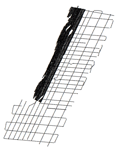
2014-002-FA_Swath_Tracklines |
 |
HTML FAQ TEXT XML |
2014-002-FA_bathytracks.zip 2.18 MB |
2014-002-FA_Swath_MVPdata |
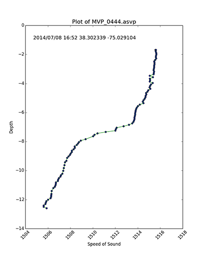 |
HTML FAQ TEXT XML |
2014-002-FA_mvpdata.zip 28.1 MB |
Backscatter | |||
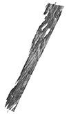
2014-002-FA_Klein_1m |
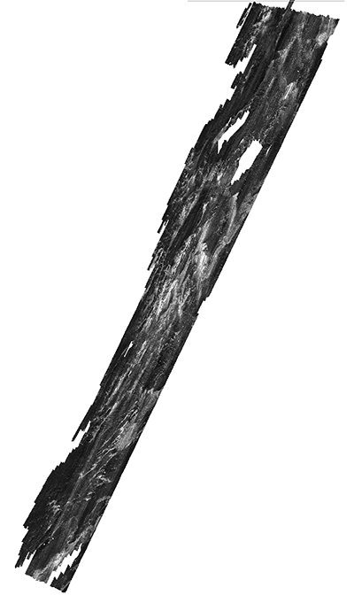 |
HTML FAQ TEXT XML |
2014-002-FA_SSS.zip 392.88 MB |
2014-002-FA_SwathBS_2m |
 |
HTML FAQ TEXT XML |
2014-002-FA_SwathBS.zip 66.9 MB |
2014-002-FA_Klein_Tracklines |
 |
HTML FAQ TEXT XML |
2014-002-FA_Kleintracks.zip 1.65 MB |
Seismics | |||
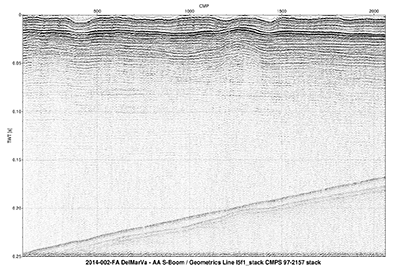
2014-002-FA_512i_Images |
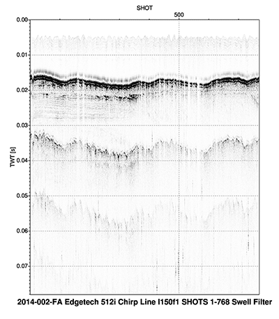 |
HTML FAQ TEXT XML |
2014-002-FA_512images1of5.zip 2014-002-FA_512images2of5.zip 2014-002-FA_512images3of5.zip 2014-002-FA_512images4of5.zip 2014-002-FA_512images5of5.zip 5,568 MB total |
2014-002-FA_512i_500sht |
 |
HTML FAQ TEXT XML |
2014-002-FA_512shots.zip 53.33 MB |
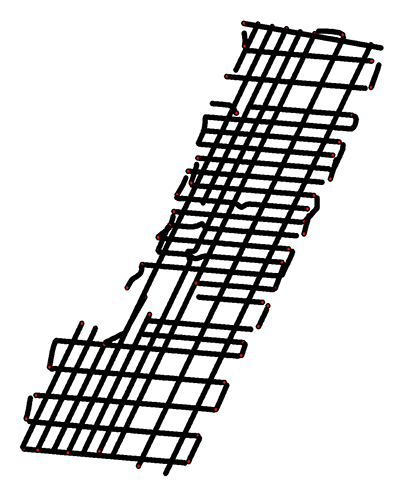
2014-002-FA_512i_Tracklines |
 |
HTML FAQ TEXT XML |
2014-002-FA_512tracks.zip 18.1 MB |
2014-002-FA_MCS_Images |
 |
HTML FAQ TEXT XML |
2014-002-FA_MCSimages.zip 313.83 MB |
2014-002-FA_MCS_rp100 |
 |
HTML FAQ TEXT XML |
2014-002-FA_MCSrps.zip 0.51 MB |
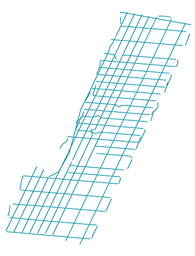
2014-002-FA_MCS_Tracklines |
 |
HTML FAQ TEXT XML |
2014-002-FA_MCStracks.zip 5.8 MB |
Samples | |||
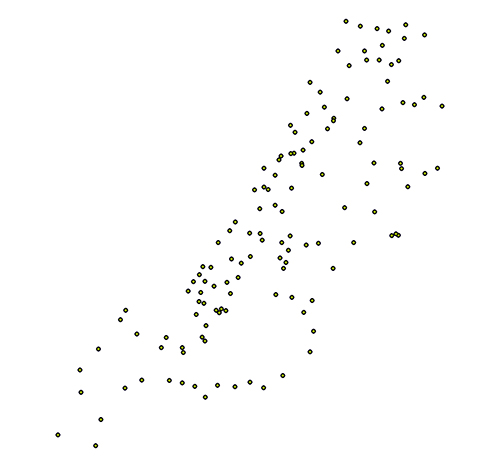
2014-002-FA_samples |
 |
HTML FAQ TEXT XML |
2014-002-FA_samples.zip 0.1 MB |
Bottom Photographs | |||
2014-002-FA_photos |
 |
HTML FAQ TEXT XML |
2014-002-FA_photos.zip 781.6 MB |
Navigation | |||
2014-002-FA_HYPACK |
on image | HTML FAQ TEXT XML |
2014-002-FA_HYPACK.zip 300.71 MB |