Online Links:
Online Links:
| Range of values | |
|---|---|
| Minimum: | 449880.7 |
| Maximum: | 527500.22 |
| Units: | meters |
| Resolution: | .01 |
| Range of values | |
|---|---|
| Minimum: | 4154602.47 |
| Maximum: | 4253571.17 |
| Units: | meters |
| Resolution: | .01 |
| Range of values | |
|---|---|
| Minimum: | -75.567695 |
| Maximum: | -74.685191 |
| Units: | degrees |
| Resolution: | .000001 |
| Range of values | |
|---|---|
| Minimum: | 37.538209 |
| Maximum: | 38.430403 |
| Units: | degrees |
| Resolution: | .000001 |
| Range of values | |
|---|---|
| Minimum: | 1 |
| Maximum: | 40509 |
| Units: | shot |
| Resolution: | 1 |
| Range of values | |
|---|---|
| Minimum: | 2014 |
| Maximum: | 2014 |
| Units: | year |
| Resolution: | 1 |
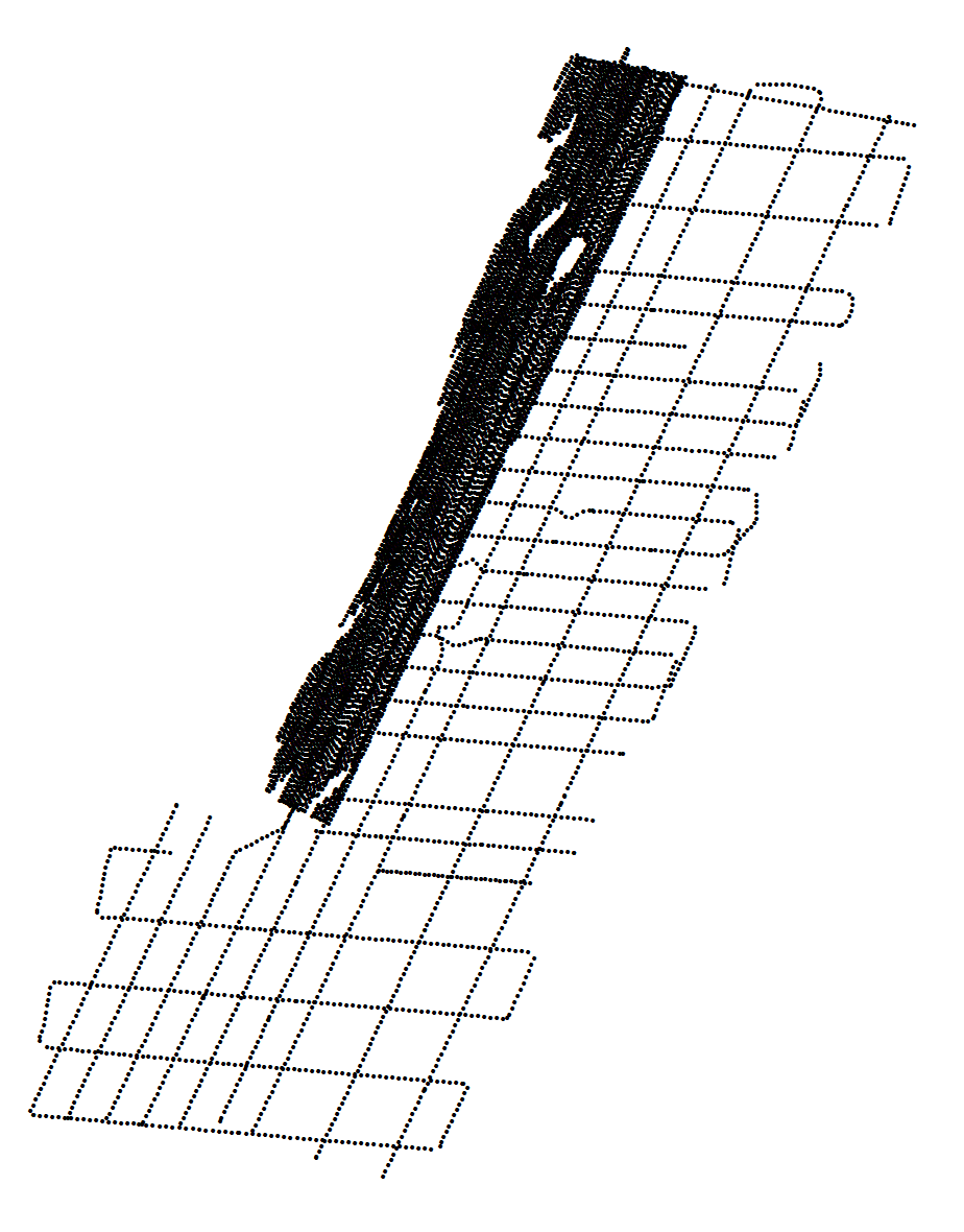
This dataset contains 500 shotpoint navigation and unique shotpoint navigation for approximately 4500 km of Edgetech SB-512i chirp seismic-reflection data collected by the U.S. Geological Survey during cruise 2014-002-FA along the Delmarva Peninsula, MD and VA. This information can help spatially correlate the seismic-reflection profiles with other data in the GIS.
Are there legal restrictions on access or use of the data?Access_Constraints: None
Use_Constraints:Public domain data from the U.S. Government are freely redistributable with proper metadata and source attribution. Please recognize the U.S. Geological Survey as the originator of the dataset.
Neither the U.S. Government, the Department of the Interior, nor the USGS, nor any of their employees, contractors, or subcontractors, make any warranty, express or implied, nor assume any legal liability or responsibility for the accuracy, completeness, or usefulness of any information, apparatus, product, or process disclosed, nor represent that its use would not infringe on privately owned rights. The act of distribution shall not constitute any such warranty, and no responsibility is assumed by the USGS in the use of these data or related materials. Any use of trade, product, or firm names is for descriptive purposes only and does not imply endorsement by the U.S. Government.
| Data format: | WinZip (v 14.5) file containsa shapefile of 512i 500-interval shot points and a CSV file of the unique shot navigation collected by the U.S. Geological Survey - Woods Hole Coastal and Marine Science Center along the Delmarva Peninsula, MD and VA and the associated metadata. in format Shapefile (version ArcGIS 10.2.2) Shapefile Size: 52 |
|---|---|
| Network links: |
https://cmgds.marine.usgs.gov/data/field-activity-data/2014-002-FA/data/seismics/tracks/2014-002-FA_512shots.zip https://cmgds.marine.usgs.gov/data/field-activity-data/2014-002-FA/ https://doi.org/10.5066/F7MW2F60 |
| Data format: | WinZip (v 14.5) file containsa shapefile of 512i 500-interval shot points and a CSV file of the unique shot navigation collected by the U.S. Geological Survey - Woods Hole Coastal and Marine Science Center along the Delmarva Peninsula, MD and VA and the associated metadata. in format Comma Seperated Values (CSV) (version Excel Version 2010) Comma Seperated Values (CSV) Size: 52 |
|---|---|
| Network links: |
https://cmgds.marine.usgs.gov/data/field-activity-data/2014-002-FA/data/seismics/tracks/2014-002-FA_512shots.zip https://cmgds.marine.usgs.gov/data/field-activity-data/2014-002-FA/ https://doi.org/10.5066/F7MW2F60 |
This zip file contains data available in shapefile format. The user must have software capable of reading and processing the data file. The CSV file can be opened with any text editor