USGS - science for a changing world

Pacific Coastal and Marine Science Center

Seafloor Mapping

Home - Images - Products - Data - Publications - Contact
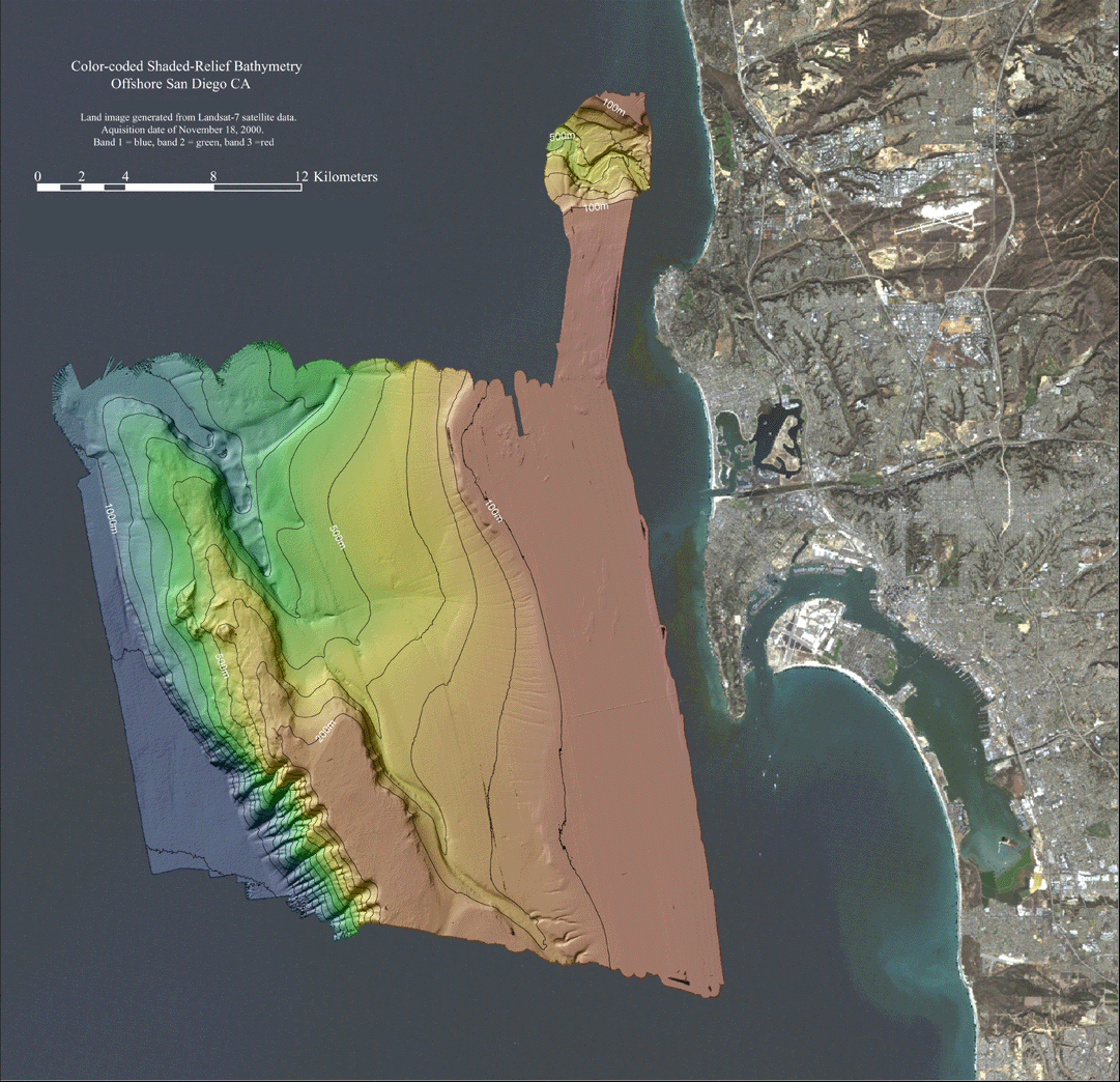

San Diego Margin: bathymetry

Back to San Diego Homepage

shaded-relief bathymetry

Acoustic backscatter imagery generated from the 2004 multibeam sonar survey of the Northeastern Channel Islands region. Depths within the survey area range from 25 - 1246m. Lighter tones in this image represent higher backscatter while darker tones represent lower backscatter.

Accessibility FOIA Privacy Policies and Notices

U.S. Department of the Interior | U.S. Geological Survey
URL: pacmaps/sd-bathy.html
Contact Peter Dartnell
Archived in 2018