Home - Images - Products - Data - Publications - Contact
| (662 kb) (862 kb) (108 kb) |
 |
|
Shaded Relief (662 kb) - Backscatter (862 kb) |
|
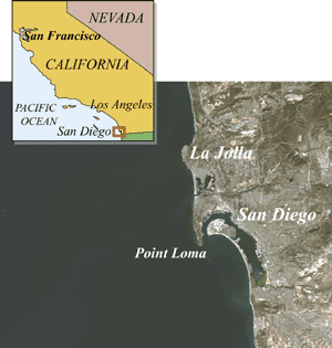
In 1998 the USGS conducted a survey offshore San Diego using a Kongsberg Simrad EM300 multibeam system. This survey provided high-quality bathymetry and quantitative backscatter that can be used in a variety of studies;
Cruise Report; RV Ocean Alert Cruise A2-98-SC, Mapping the Southern California Continental Margin. March 26 - April 11, 1998. USGS Open File Report: 98-475. Metadata