
Woods Hole Science Center
Title Page / Table of Contents / List of Figures / Introduction / Maps / Data Collection/Processing / Interpretation / Acknowledgments / Appendix 1 / Appendix 2 / Appendix 3 / Appendix 4
 |
 |
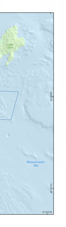 |
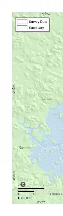
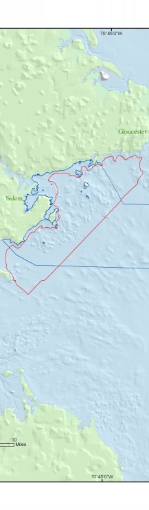
Figure 1. Map showing the location of the survey area (outlined in red) offshore of northeastern Massachusetts between Nahant and Gloucester, including part of the South Essex Ocean Sanctuary (blue line). | ||


