USGS Coastal and Marine Hazards and Resources Program
Geophysical Data from Offshore of the Chandeleur Islands, Eastern Mississippi Delta
![]() Title Page /
Contents /
Introduction /
Data Acquisition and Processing Overview /
Geographic Information System Data Catalog /
Acknowledgments /
References Cited
Title Page /
Contents /
Introduction /
Data Acquisition and Processing Overview /
Geographic Information System Data Catalog /
Acknowledgments /
References Cited
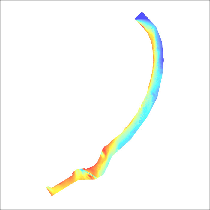
Bathy_grd: Image of the bathymetric grid as stored within ArcMap™ 9.2 map document. |
||
 |
||
