| Online link | https://cmgds.marine.usgs.gov/catalog/pcmsc/SeriesReports/OFR/OFR_2015-1118/cowbatg.tif.faq.html |
|---|---|
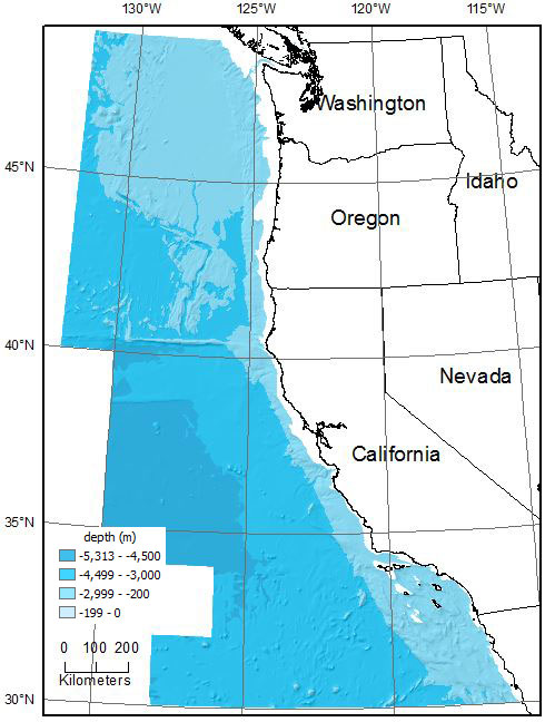
| Description | Cowbatg.tif is a 1000-m resolution bathymetric grid of the continental margin offshore of Washington, California, and Oregon. The grid was generated from bathymetric contours (cowbathy.shp, also in this data set) mapped by Chase and others (1992a, b) and by Grim and others (1992) from various sources of bottom topography of the continental margin off the states of Washington, Oregon, and California. |
| Originators | Wong, Florence L. and Grim, Muriel S. |
