Online Links:
1. SEG-D input and resample to 0.5 millisecond
2. Trace edit
3. Geometry assignment
4. 50 Hz low-cut filter
5. Water-bottom mute
6. Deep-water recording delay correction
7. Spherical divergence correction
8. Noise-spike editing
9. FK filter
10. Deconvolution
11. Common midpoint (CMP) sort
12. Stacking velocity analysis
13. Normal move-out correction
14. Stack
15. SEG-Y output
16. 60-320 Hz bandpass filter
17. Whole-trace balance
18. gif image file output
Online Links:
Online Links:
Online Links:
| Access_Constraints | None. These data are held in the public domain. |
|---|---|
| Use_Constraints | The U.S. Geological Survey requests to be acknowledged as the originator of the data in future products or derivative research. |
| Data format: | Binary seismic reflection data in format SEG-Y Size: 7168 |
|---|---|
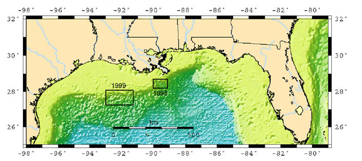
| Network links: |
https://pubs.usgs.gov/of/2002/of02-368/data98.html http://pubs.usgs.gov/of/2002/of02-368/data99.html |
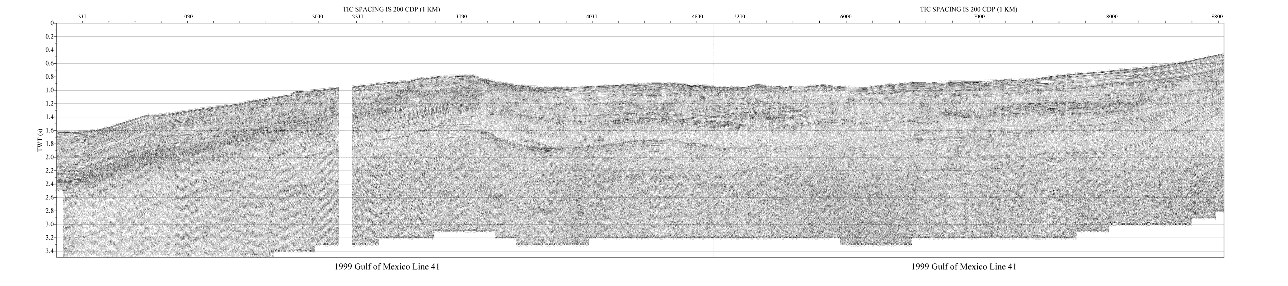
| Data format: | Seismic sections rendered in gray-scale, two-way travel- time on the vertical axis, distance on horizontal (images are about 1000 pixels high and vary from 1000 to 3000 pixels in width) in format GIF (version 89a) Size: 13 |
|---|---|
| Network links: |
http://pubs.usgs.gov/of/2002/of02-368/data98.html http://pubs.usgs.gov/of/2002/of02-368/data99.html |
| Data format: | These ASCII files contain columns listing line number, CDP number, latitude and longitude in decimal degrees and UTM coordinates CDP stands for Common Depth Point and each seismic trace along a profile has a unique CDP number and are located at 5 meter intervals. Locations are listed for every 20th to 40th CDP along each profile. Interpolation of locations between listed CDPs would be necessary to obtain coordinates for every CDP. CDP locations are not listed in the SEG-Y seismic trace headers. in format Columnar text (version unspecified) Tab-delimited, field labels on first row Size: 0.4316 |
|---|---|
| Network links: |
http://pubs.usgs.gov/of/2002/of02-368/gm98nav.txt http://pubs.usgs.gov/of/2002/of02-368/gm99nav.txt |