Sea-floor sediment samples, seabed imagery, and CTD instrument data collected on Stellwagen Bank in July and August, 2019, U.S. Geological Survey Field Activity 2019-008-FA (ver. 1.1)
| Field activity number | 2019-008-FA |
|---|---|
| Version | 1.1 |
| Area of operation | Stellwagen Bank National Marine Sanctuary |
| Dates | 2019 |
| Chief scientist | Page Valentine |
| Publication Date | December 11, 2020 |
Revised May 22, 2023, ver. 1.1
Suggested citation: Valentine, P.C., and Cross, V.A., 2020, Sea-floor sediment samples, seabed imagery, and CTD instrument data collected on Stellwagen Bank in July and August, 2019, U.S. Geological Survey Field Activity 2019-008-FA (ver. 1.1, May 2023): U.S. Geological Survey data release, https://doi.org/10.5066/P93ATKSC.
Abstract: This field activity is part of the effort to map geologic substrates of the Stellwagen Bank National Marine Sanctuary region off Boston, Massachusetts. The overall goal is to develop high-resolution (1:25,000) interpretive maps, based on multibeam sonar data and seabed sampling, showing surficial geology and seabed sediment dynamics. This cruise was conducted in collaboration with the Stellwagen Bank National Marine Sanctuary, and the data collected will aid research on the ecology of fish and invertebrate species that inhabit the region. The Sanctuary's research vessel, R/V Auk, visited 53 locations on Stellwagen Bank at which a customized Van Veen grab sampler (SEABOSS) equipped with a video camera and a CTD was deployed in drift mode to collect sediment for grain-size analysis, video imagery of the seabed, and measurements of water column properties.
Filename and description |
Preview |
Metadata |
Download |
|---|---|---|---|
Chemistry |
|||
| 2019-008-FA_CTD Conductivity-temperature-depth, fluorescence and turbidity data collected aboard the R/V Auk on Stellwagen Bank (text files). |
no preview available | HTML XML |
2019-008-FA_CTD.zip 368 KB |
Samples |
|||
| 2019-008-FA_station_summary Station and data summary for data collected aboard the R/V Auk on Stellwagen Bank (Geographic, WGS 84, point shapefile, XLSX and CSV formats) |
 |
HTML XML |
2019-008-FA_station_summary.zip 69 KB |
| 2019-008-FA_sedsamples (ver. 1.1) Location and grain-size analyses of sediment samples collected aboard the R/V Auk on Stellwagen Bank (Geographic, WGS 84, point shapefile, XLSX and CSV formats). |
 |
HTML XML |
2019-008-FA_sedsmaples.zip 69 KB |
Imagery |
|||
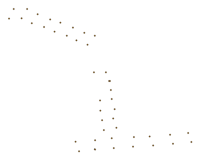
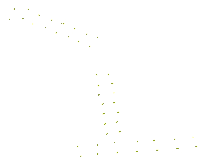
| 2019-008-FA_video_driftlines Video transects of the seabed collected aboard the R/V Auk on Stellwagen Bank (Geographic, WGS 84, polyline shapefile format). |
 |
HTML XML |
2019-008-FA_video_driftlines.zip 84 KB |
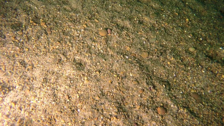
| 2019-008-FA_SeabedImages Seabed still images collected aboard the R/V Auk on Stellwagen Bank (JPEG image format. EXIF headers have been added to include navigation and other meta tags). |
 |
HTML XML |
2019-008-FA_SeabedImages.zip 44 MB |
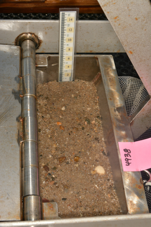
| 2019-008-FA_SampleImages Grab sample still images collected aboard the R/V Auk on Stellwagen Bank (JPEG image format. EXIF headers have been added to include navigation and other meta tags). |
 |
HTML XML |
2019-008-FA_SampleImages.zip 646 MB |
Navigation |
|||
| 2019-008-FA_nav Navigation data collectd aboard the R/V Auk on Stellwagen Bank (Geographic, WGS 84, XLSX and CSV formats). |
no preview available | HTML XML |
2019-008-FA_nav.zip 25 MB |
Logs |
|||
| 2019-008-FA_log: Acquisition and observation logs for seabed video and sediment samples collected aboard the R/V Auk on Stellwagen Bank (PDF format). |
no preview available | HTML XML |
2019-008-FA_log.pdf 7 MB 2019-008-FA_logs.zip 6.7 MB |