USGS Coastal and Marine Hazards and Resources Program
|
3D VisualizationThis Open-File Report (2005-1066) DVD-ROM contains GeoZui a freeware product and interactive 3-D visualization system developed in the Center for Coastal and Ocean Mapping Program at the University of New Hampshire.
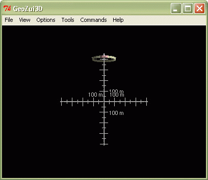
Instructions:GeoZui3D has the following features: How to Get a Perspective View of Trench DataAt the GUI widget (window), from the file menu, select "Open Object" then navigate to the place on this DVD, that is, “data/multibeam/Geozuidata/data/products” and open the file type ending in “.gutm.” A scene will load with the featured data from the trench; the deepest part of the Atlantic Ocean (Caribbean Sea) will be loaded and ready for use; manipulative viewing and other options are available to explore. The 4 main featured imagery (acoustic backscatter and multibeam bathymetry) files contained in the multibeam subfolder on this DVD are documented with metadata.  GUI I 
GUI II Refer to GeoZui3D Readme file (instructions) if technical difficulties occur or see your Systems Administrator
|
|||||||||||||||