
Woods Hole Science Center
![]() Title |
Introduction |
Setting |
Methods |
Overview |
Interpretation |
Discussion |
Data Catalog |
Acknowledgments |
References |
Figures |
Bottom Photographs |
Sediment Data |
Contacts
Title |
Introduction |
Setting |
Methods |
Overview |
Interpretation |
Discussion |
Data Catalog |
Acknowledgments |
References |
Figures |
Bottom Photographs |
Sediment Data |
Contacts
 |
||
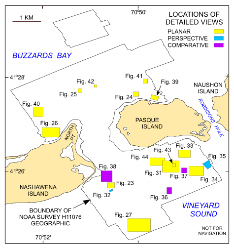
Figure 22. Map showing the boundary of the acoustic data from NOAA survey H11076 of Quicks Hole and the locations of the detailed planar, perspective, and comparative views of the multibeam DTM and sidescan sonar mocaic shown in other figures. | ||


