
Woods Hole Science Center
![]() Title |
Introduction |
Setting |
Methods |
Overview |
Interpretation |
Discussion |
Data Catalog |
Acknowledgments |
References |
Figures |
Bottom Photographs |
Sediment Data |
Contacts
Title |
Introduction |
Setting |
Methods |
Overview |
Interpretation |
Discussion |
Data Catalog |
Acknowledgments |
References |
Figures |
Bottom Photographs |
Sediment Data |
Contacts
 |
||
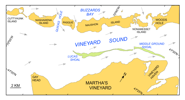
Figure 3. Map of the Elizabeth Islands showing the direction of tidal flow during a flood tide and the locations of Quicks Hole and Lucas and Middle Ground Shoals. | ||


