USGS Coastal and Marine Hazards and Resources Program
Historical Shoreline Changes at Rincón, Puerto Rico, 1936-2006
| Title Page | Introduction | Methods | Historic Shoreline Changes |
Regional Bathymetry | Discussion | Future Outlook | Conclusion | Data Catalog | Acknowledgments | References |
 |
||
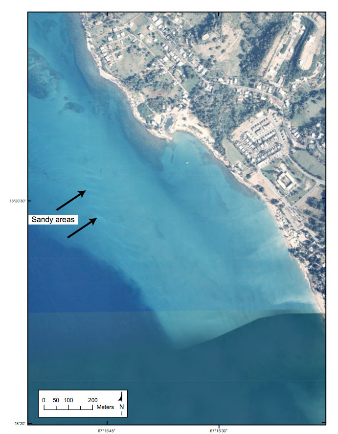
Figure 14. A 1997 orthophotograph showing possible sandy deposits on the shoal feature south of Punta Ensenada, Rincón, Puerto Rico study area. | ||
