Home - Images - Products - Data - Publications - Contact
| (73 kb) (142 kb) |
Shaded Relief - Backscatter (73 kb) |
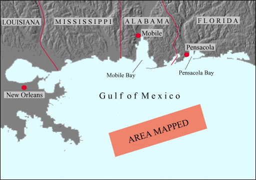
An extensive deep (~100 m) reef tract occurs on the Mississippi-Alabama outer continental shelf (OCS). The tract, known as "The Pinnacles", is apparently part of a sequence of drowned reef complexes along the "40-fathom" shelf edge of the northern Gulf of Mexico (Ludwick and Walton, 1957). The Pinnacles were mapped by Ludwick and Walton (1957) using a single-beam echo sounder but the spatial extent and morphology were interpreted from a series of widely separated, poorly navigated bathymetric profiles. More recent studies, in support of Minerals Management Service (MMS) concerns, used towed sidescan sonars and single-channel seismic-reflection profiling. Little accurate geomorphic information can be deduced from these more recent studies because of the limitations of the technology used for the surveys. However, it has become increasingly more critical to determine the accurate geomorphology of deep-reefs because of their importance as benthic habitats for fisheries.
In May and June of 2000, the USGS, in cooperation with the University of New Hampshire, mapped the Pinnacles region of the northern Gulf of Mexico using an Kongsberg Simrad EM-1002 multibeam sonar system. The new base maps will be the foundation for studies of the abundance and distribution of the deep-water reefs and associated benthic habitats.
For more information please read the Cruise Report RV Ocean Surveyor Cruise O-1-00-GM, The Bathymetry and Acoustic Backscatter of the Pinnacles Area, Northern Gulf of Mexico
Field activity metadata
