Home - Images - Products - Data - Publications - Contact
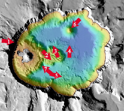
Click on the arrows within the index map below, or click on the thumbnail images below the index map. to view the perspective images and to download a 300dpi TIFF image.
All images linked to below are between 72 and 155 kb in size

Overview (155 kb) |
Map View (154 kb) |
Chaski Bay (77 kb) |
Llao Point (66 kb) |
Merriam Cone (72 kb) |
Phantom Ship and Danger Bay (73 kb) |
Wizard Island and Central Platform (75 kb) |
Wizard Island (72 kb) |