
The 26 December 2004 Indian Ocean Tsunami: Initial Findings from Sumatra
Subsidence
Models predict that the type of earthquake that caused the tsunami—a megathrust—will raise the sea floor above the fault rupture and cause subsidence near the coast. So, the team was not surprised to find evidence that coastal land had subsided in Sumatra. Trees with roots and lower trunks submerged in seawater indicate that coastal land subsided 1 to 2 m (3 to 6 ft) in some areas. Japanese team member Yuichiro Tanioka and his Indonesian graduate student Yudhicara resurveyed parts of Banda Aceh for which older elevation maps were available and discovered that the land there had subsided by 28 to 57 cm (about 1 to 2 ft).
 Before earthquake |
 After earthquake |
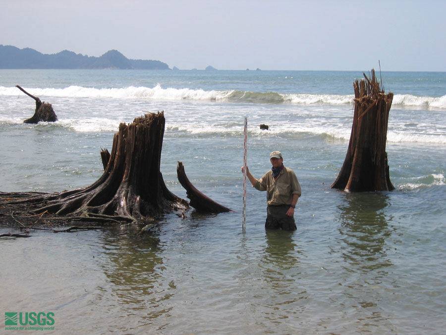 Guy Gelfenbaum measures coastal subsidence along Sumatra's northwest coast on the basis of trees whose roots and lower trunks are now submerged in saltwater. The land here subsided 1 to 2 m during the earthquake; the treetops were snapped off by the tsunami. [larger version] |
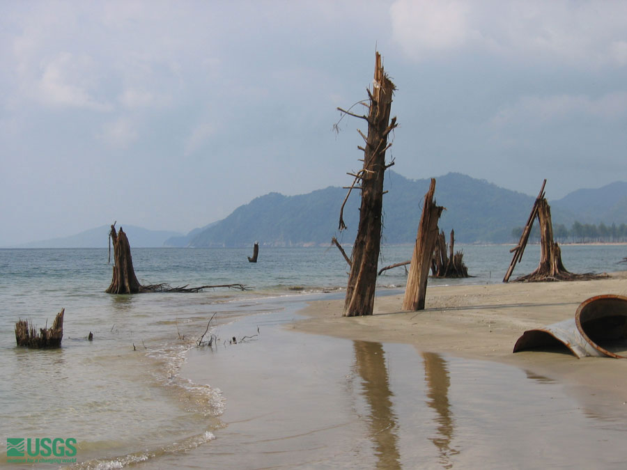 More trees now submerged in water and sand give an indication of subsidence. [larger version] |
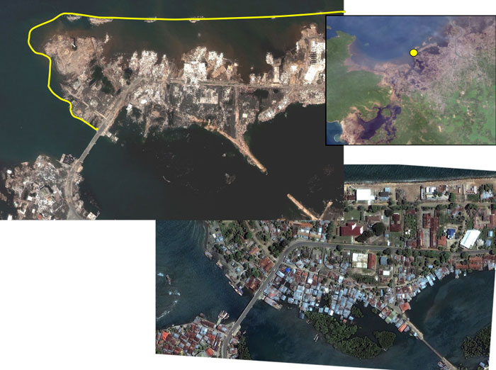 Satellite photos show subsidence after the earthquake. Before photo (lower right), and after photo (upper left), are of the north coast of Sumatra (inset map, upper right, shows location). [larger version] |
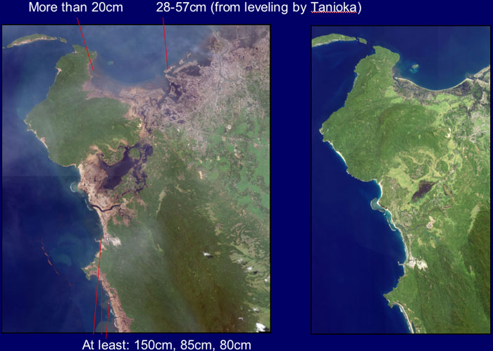 satellite images showing Banda Aceh before (right) the earthquake, and after (left), and vertical deformation measurements [larger version] |
 Coastal response
 |
 |
 |
 |