|
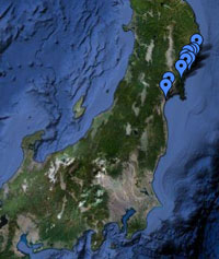
Location All site locations, Japan |
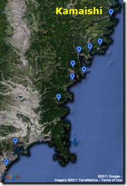
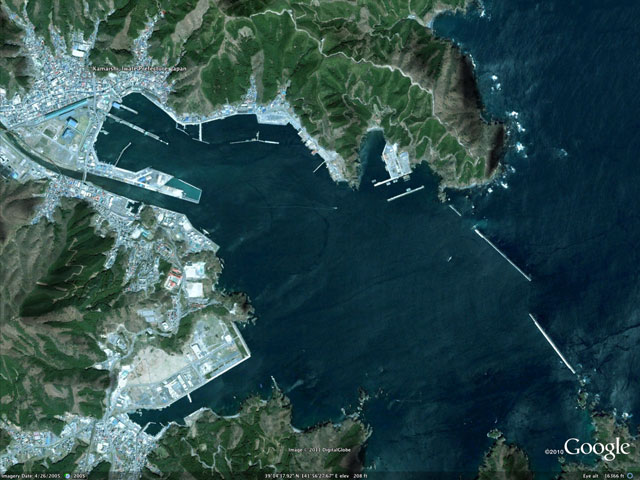
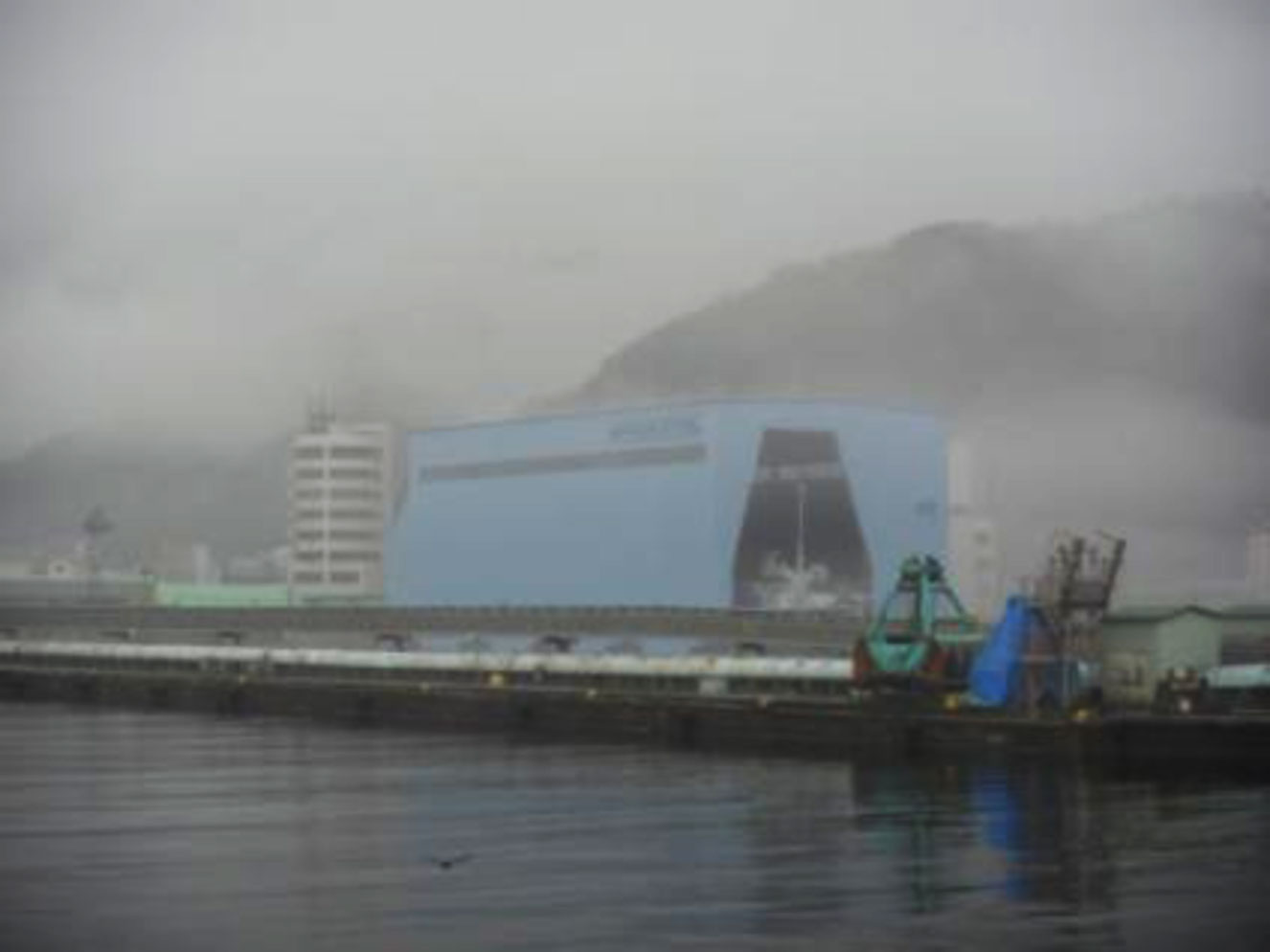
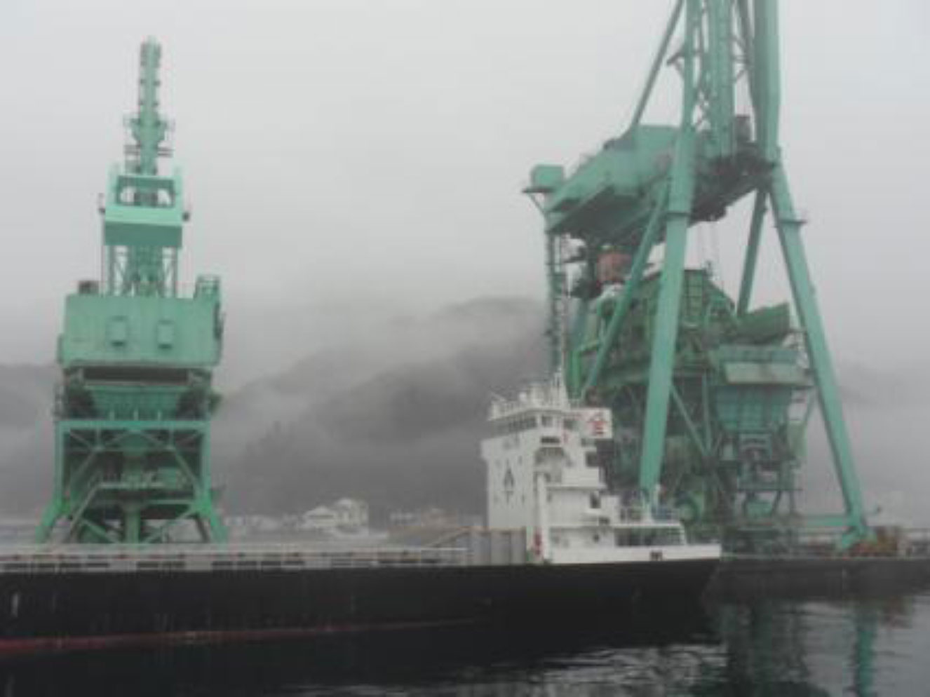
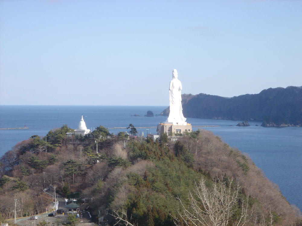
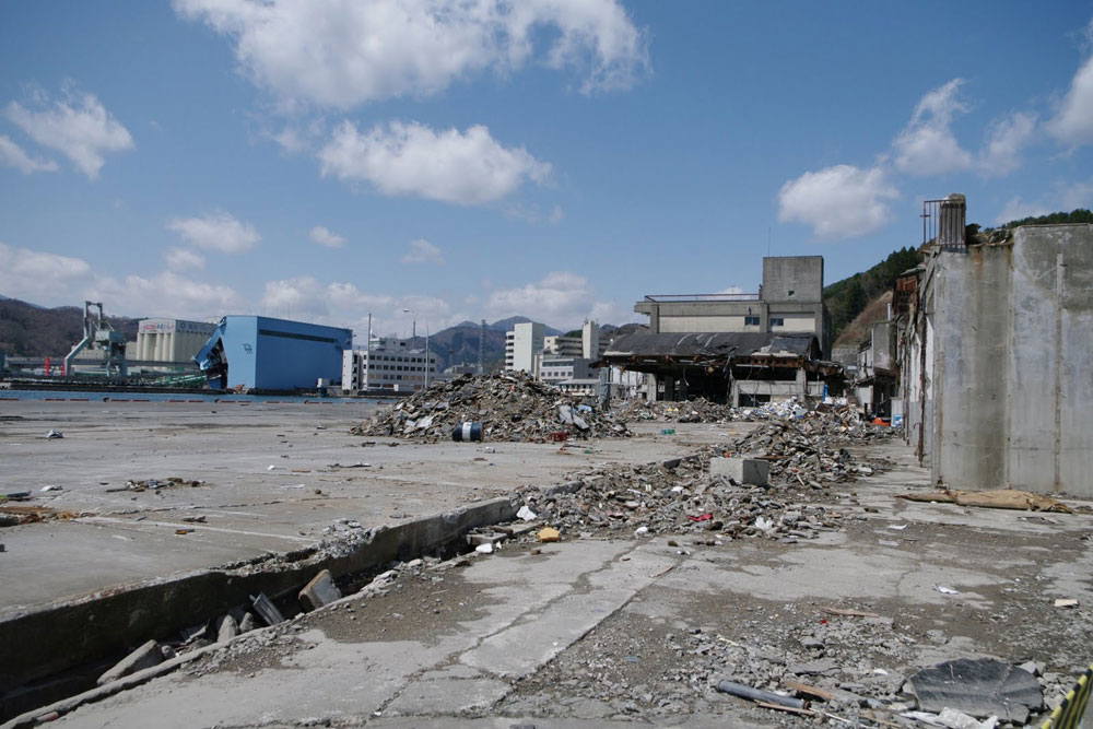
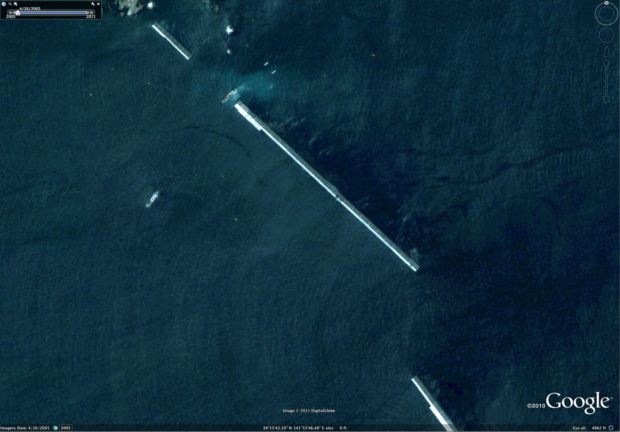
Pre-tsunami Japan: 2010Kamaishi, Iwate PrefectureKamaishi City is located at the head of an irregular-shaped, roughly east-west trending bay that is another good natural harbor and an important iron and fish port facility. Post-tsunami satellite imagery shows extensive damage to port facilities. The 1896 Meiji Sanriku tsunami devastated Kamaishi where nearly 5,000 people perished out of a population of about 6,500. A tsunami seawall was constructed at the entrance to Kamaishi Bay in water depths up to 63 m and took 20 years to complete (1978-2008). Post satellite imagery shows damage to the seawall.
For comparison, pre-March 11, 2011 tsunami images are shown with post-tsunami images.
|