|
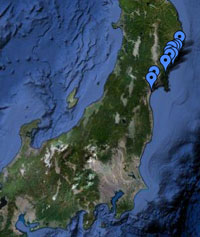
Location All site locations, Japan |
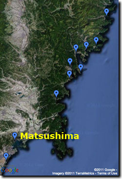
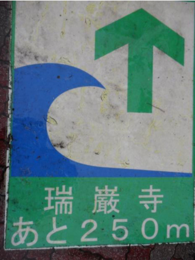
Pre-tsunami Japan: 2010Matsushima, Miyagi PrefectureMatsushima is situated along the northern coast of a large rocky embayment immediately north of the broad Sendai coastal plain. It is a very scenic bay with hundreds of rock islands and numerous historic cultural landmarks. Matsushima is an important tourist area and tsunami evacuation routes are well marked by signs on posts (below, left) and incorporated into the pavement (below, right). The signs typically give both a direction and distance for evacuation.
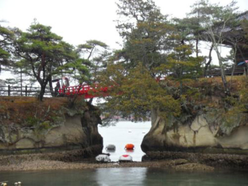
Photographs below show the scenic beauty of the Matsushima waterfront before the tsunami. Post-tsunami satellite images from this locale were obscured by clouds, but a blog post by Jody Bourgeois suggests the Matsushima waterfront locations were most-likely inundated by the tsunami but spared major damage (the shape of the bay probably reduced the impact of the tsunami). [Click photos for larger versions.]
|