USGS - science for a changing world

Pacific Coastal and Marine Science Center

Tsunami and Earthquake Research

Location
location of Rikuzentakata.

All site locations, Japan
Sites visited in 2010.
View online map
If online map doesn't work:
View as larger map (static)
View at a larger scale (static)

Pre-tsunami Japan: 2010

Rikuzentakata, Iwate Prefecture

Satellite imagery of Rikuzentakata in 2010; courtesy of USGS and Google.

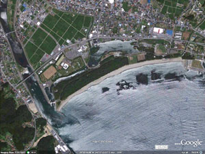
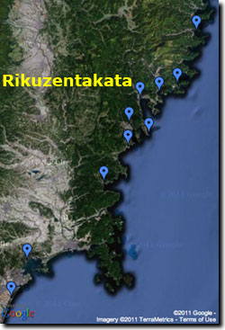
Rikuzentakata is located at the northern end of another roughly north-south trending embayment that opens to the southeast. Whereas the Kesennuma embayment is funnel-shaped, the distal end at Rikuzentakata broadens and incorporates a broad, sandy barrier feature.

Photo taken in Rikuzentakata in 2010.

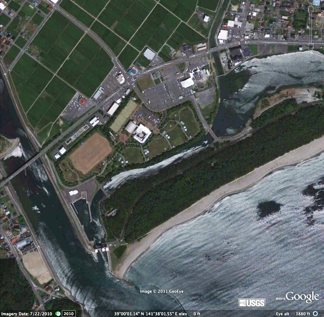
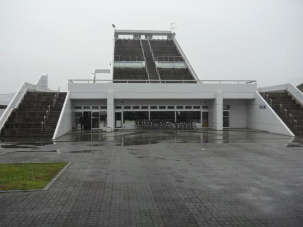
The shoreline is a popular beach front area, and because of the low-lying coast there are vertical evacuation structures.

Photo taken in Rikuzentakata in 2010.

Aerial photograph taken of Rikuzentakata on 17 March 2011.

Aerial photograph taken on March 12, 2011 shows extensive overwash occurred accompanied by severe erosion of the coastal barrier (aerial photo courtesy of Geospatial Information Authority of Japan (GSI)).

< Previous page


Privacy Policy, Legal, Accessibility, and Contact Info: U.S. Geological Survey
Path: tsunami/japan/rikuzentakata.html
last modified 2011