|
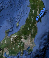
Location All site locations, Japan |
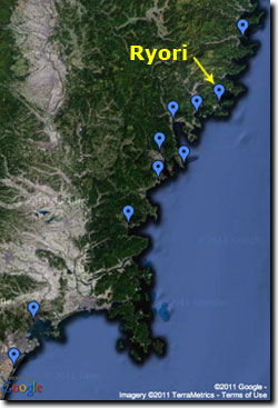
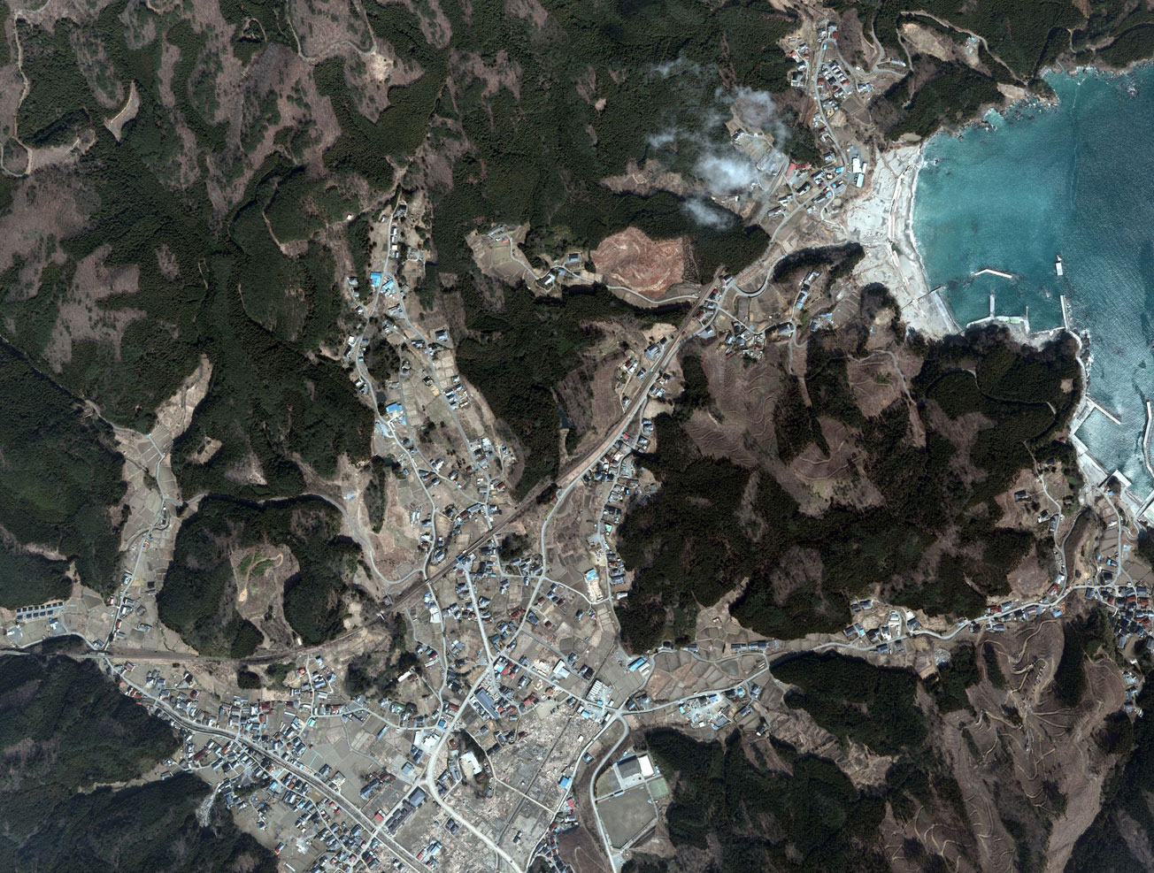
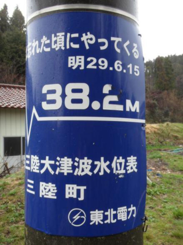
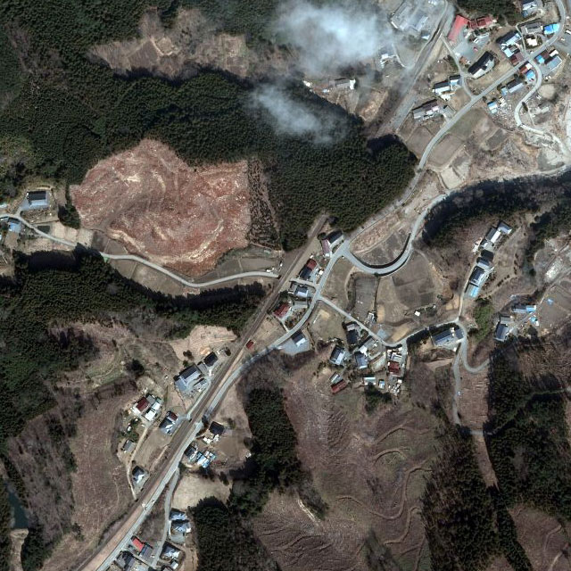
Pre-tsunami Japan: 2010Ryori, Iwate PrefectureRyori Bay was impacted by the 1896 Meiji-Sanriku Tsunami that reached a runup of 38 meters as the tsunami inundated a mountain pass (see photo, below, of the sign posted at this mountain pass). Aerial photos courtesy of Geospatial Information Authority of Japan (GSI).
|