|
Location All site locations, Japan |
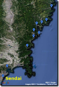
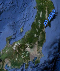
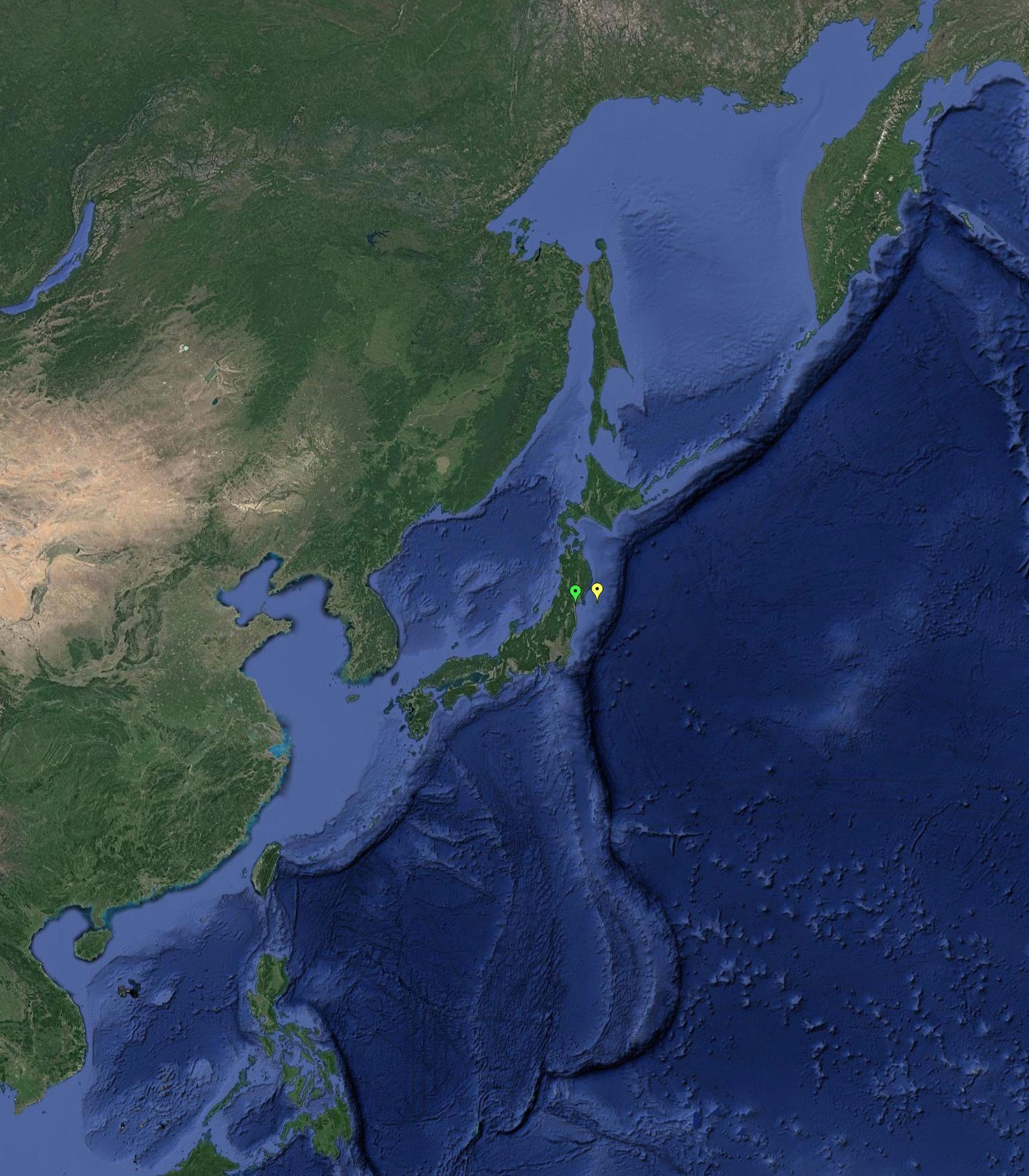
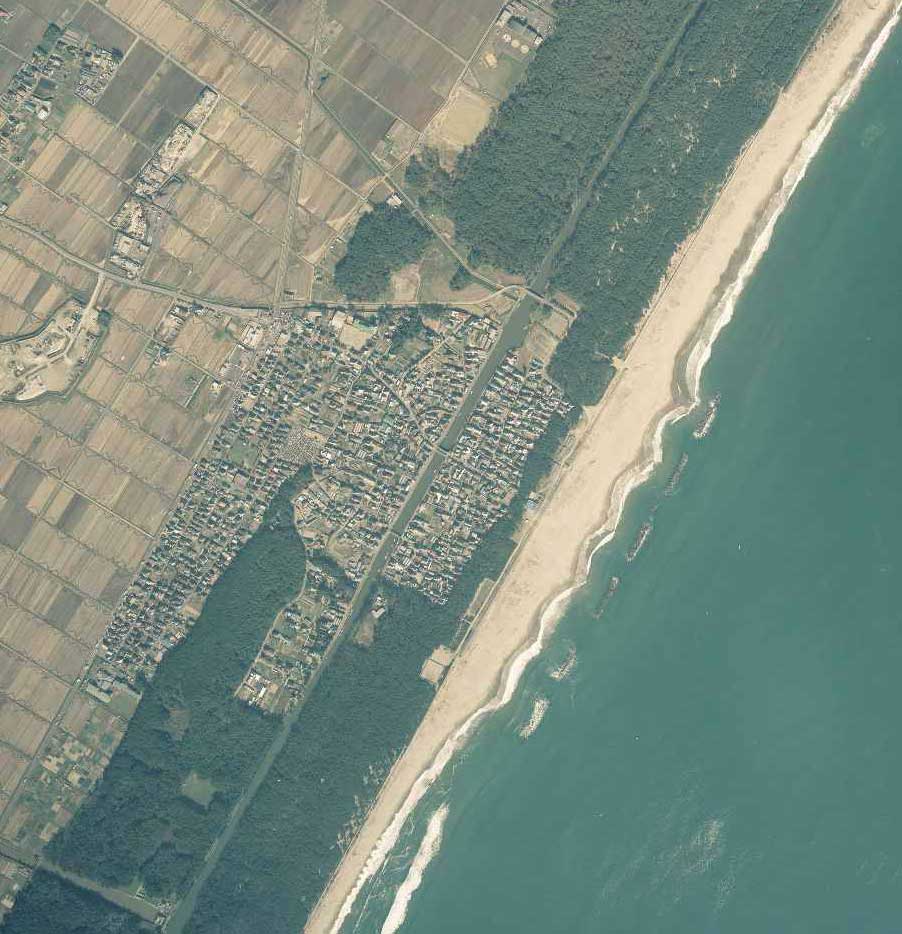
Pre-tsunami Japan: 2010Sendai Coastal Plain, Miyagi PrefectureThe map below shows the location of the M9 March 11, 2011 earthquake near the east coast of Honshu, Japan (the yellow flag, or eastern-most flag shown on map) and its proximity to Arahama Beach on the Sendai Coastal Plain (the red flag, or western-most flag shown on map), Miyagi Prefecture, Japan.
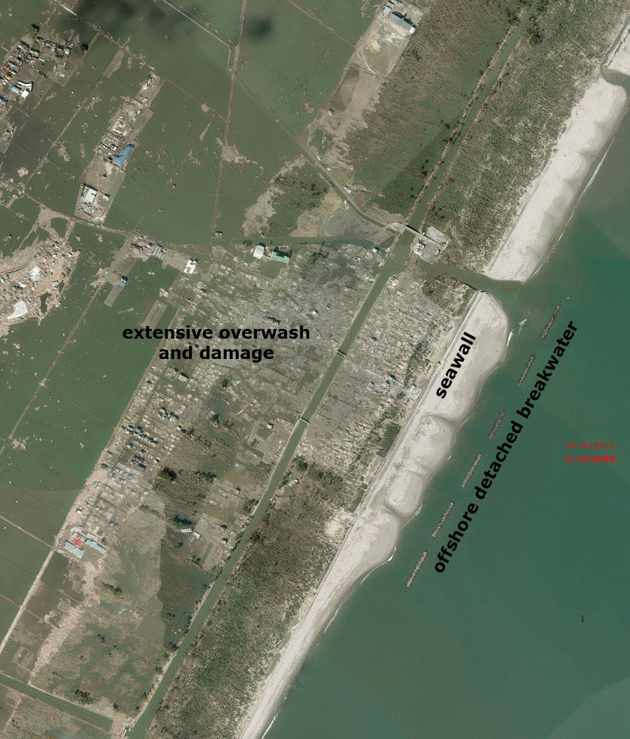
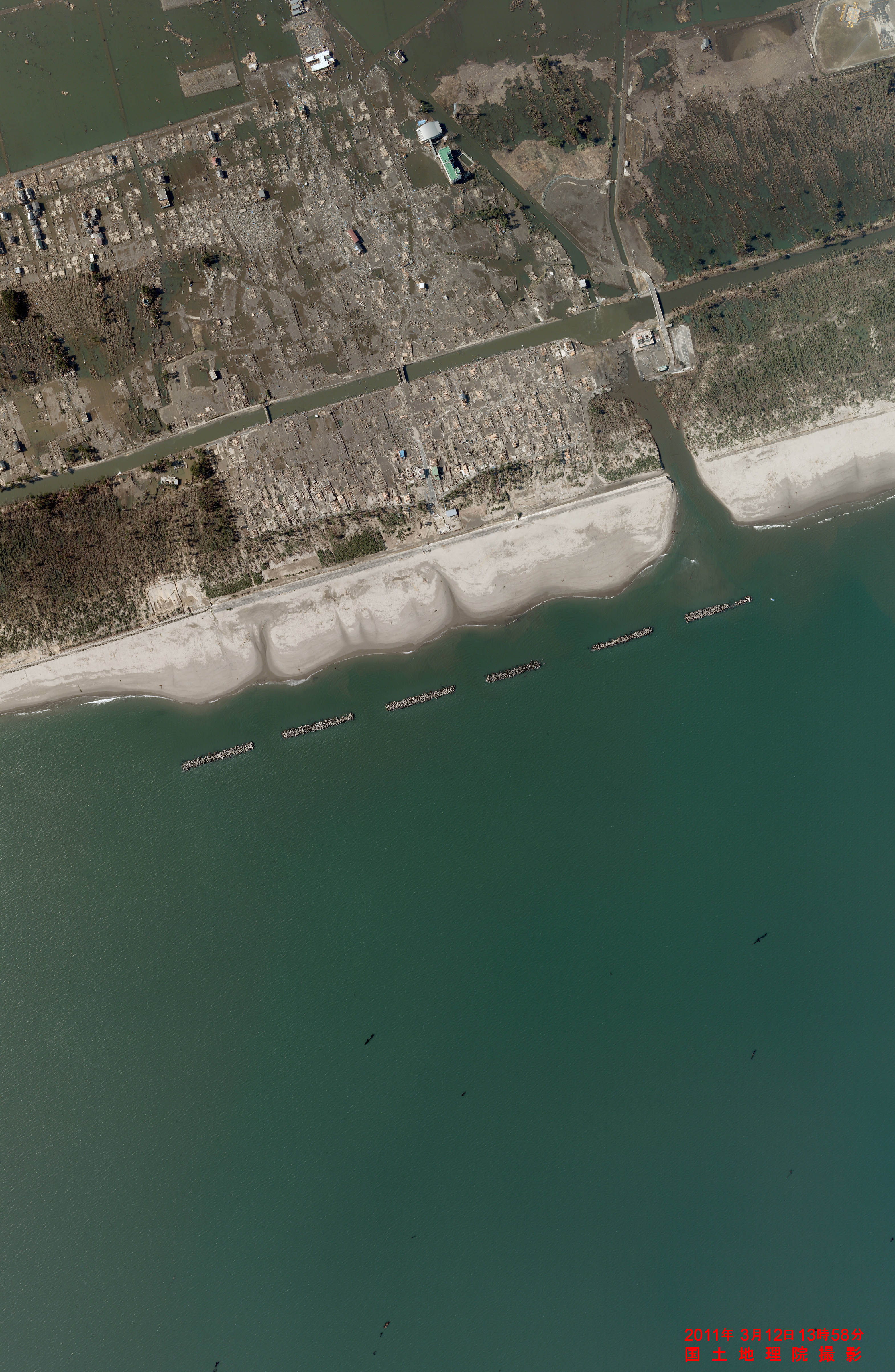
Both photos courtesy of Geospatial Information Authority of Japan (GSI). *Any use of trade, product, or firm names is for descriptive purposes only and does not imply endorsement by the U.S. Government.
|


