Pre-tsunami Japan: 2010
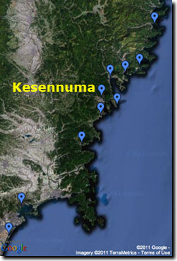
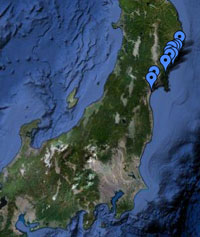
Kesennuma, Miyagi Prefecture
Kesennuma lies at the north end of a roughly north-south trending funnel-shaped embayment that opens to the southeast.
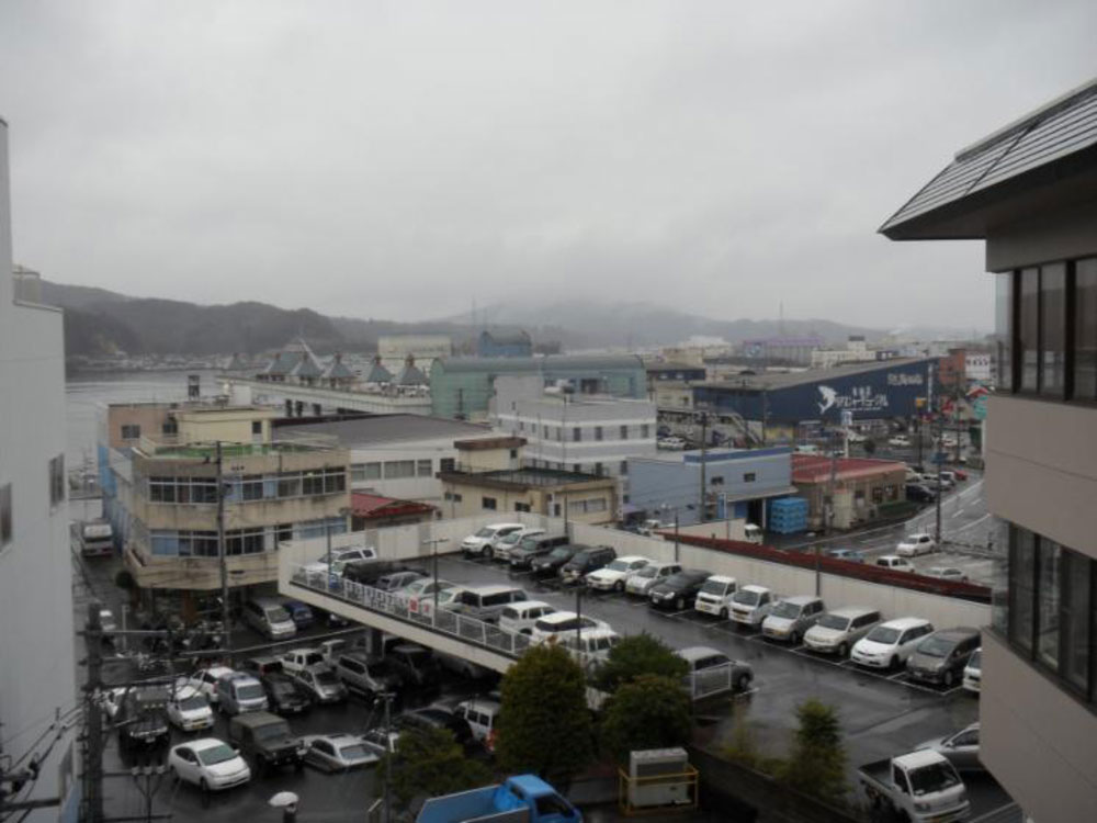
Photographs on this page (click for larger versions) show the busy fishing port in April 2010.
News reports and satellite imagery indicate major damage occurred to the waterfront and township.
Below are listed news reports from Kesennuma, a few days after the earthquake and tsunami. (Note that some of these news items were fresh at the time, and may not reflect the current data and facts.)
- The city of Kesennuma in north-east Honshu, Japan has been burning furiously, with public broadcasters reporting that fires are spreading beyond regional control.
- Kesennuma, located 300 miles north-east of Tokyo in Miyagi prefecture, was near the epicentre of the magnitude 8.9 [sic] earthquake.
- Night-time aerial footage of the city, home to 74,000 people, shows the whole area engulfed in flames after the biggest earthquake in the country's history.
- Witnesses said the fires were sparked after the tsunami knocked over several cars, causing them to leak oil and gas.
- Local news agencies reported that one third of the city has now been completely submerged as fires continue to rage in the rubble and debris.
- Public broadcasters are calling for all residents in the surrounding area to evacuate, saying the flames may be spreading inland.
- Kesennuma is one of dozens of cities and villages along a 2,100km (1,300 mile) stretch of coastline that were shaken by violent tremors that reached as far away as Tokyo, hundreds of miles from the epicentre.
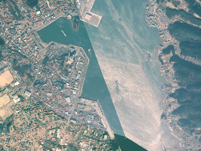
View a larger version. Aerial photo courtesy of Geospatial Information Authority of Japan (GSI).
|