|
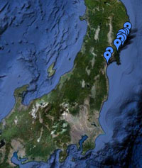
Location All site locations, Japan |
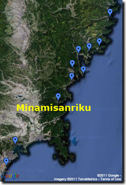
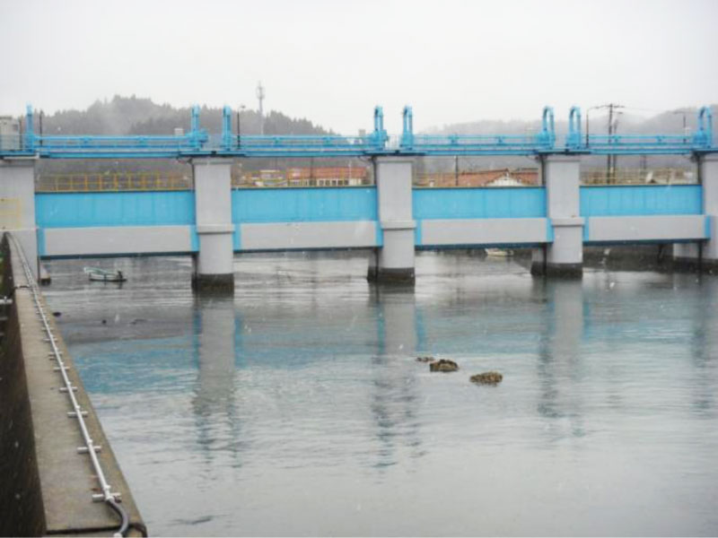
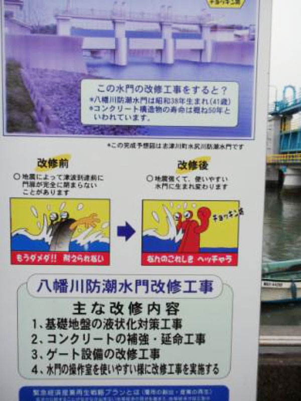
Pre-tsunami Japan: 2010Minamisanriku, Miyagi PrefectureMinamisanriku (population ~ 18,000) is an important fishing (silver salmon) and aquaculture (scallops and oysters) township. Historic tsunamis that have impacted Minamisanriku were the 1960 Chilean and 1896 Meiji-Sanriku events. The town lies at the northwest corner of an east-west trending boxed-shaped embayment.
|
||||||||||