Pre-tsunami Japan: 2010
Sendai Coastal Plain, Miyagi Prefecture
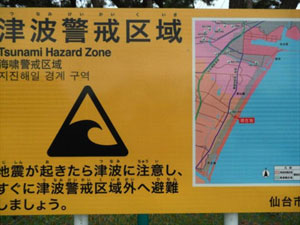
Sendai Coastal Plain: Photo of sign at Arahama Beach warning of the tsunami hazard in the area. [Larger version] |
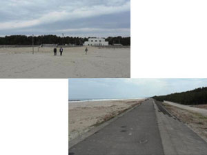
Sendai Coastal Plain: Arahama Beach, April 2010. Photo shows massive seawall for coastal protection. Most homes landward of the seawall were destroyed by the March 11, 2011 tsunami. [Larger version] |
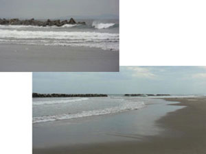
Sendai Coastal Plain: Arahama Beach, April 2010. View of detached offshore breakwater for coastal protection. [Larger version] |
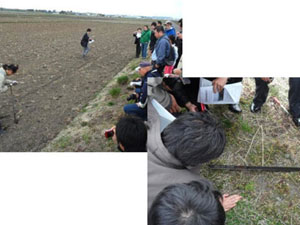
Sendai Coastal Plain: Rice Field Zone. Participants of the 3rd International Tsunami Field Symposium (April 2010) watch Daisuke Sugawara attempting to sample deposits from the AD 869 Jogan tsunami. [Larger version] |
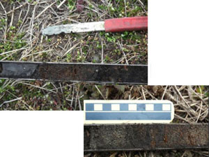
Sendai Coastal Plain: Rice Field Zone. Gouge core showing sand layers thought to be tsunami deposits from the AD 869 Jogan tsunami. [Larger version] |
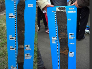
Sendai Coastal Plain: Rice Field Zone. Sediment peels showing flood plain deposits interbedded with tsunami deposits including those from the AD 869 Jogan tsunami. [Larger version] |
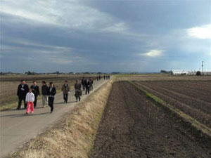
Rice fields on the Sendai coastal plain (photograph taken in April, 2010). This area was completely inundated by the recent tsunami. [Larger version] |

Namiwake Shrine erected after the AD 869 Jogan Tsunami (namiwake means “split of wave” or “limit of inundation”). Shrine is located about 5 km from present coast (April 2010). Post-tsunami satellite imagery shows this area was not impacted by the March 11 tsunami. [Larger version] |
*Any use of trade, product, or firm names is for descriptive purposes only and does not imply endorsement by the U.S. Government.

|