Home - Images - Products - Data - Publications - Contact
Click on the arrows within the index map below, or click on the below the index map.
All images linked to below are between 85 Kb and 135 Kb in size.
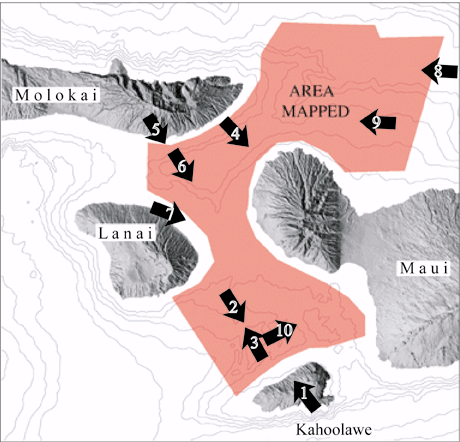
Figure 1. Colored bathymetry between Maui, Molokai, Lanai, and Kahoolawe (122kb) |
Figure 2. Colored bathymetry of reef platforms off Kahoolawe (114kb) |
Figure 3. Colored bathymetry showing debris flow on basin floor (116kb) |
Figure 4. Colored bathymetry showing field of bedforms west of Maui (135kb) |
Figure 5. Colored bathymetry of reef platforms north of Lanai (117kb) |
Figure 6. Colored bathymetry showing a slump at the base of an escarpment (114kb) |
Figure 7. Colored bathymetry of living modern reef offshore Maui (121kb) |
Figure 8. Colored bathymetry showing sediment covered reefs north of Maui (86kb) |
Figure 9. Colored bathymetry showing reef platforms between Maui and Molokai (93kb) |
Figure 10. Colored bathymetry of modern reef and reef pinnacles (137kb) |
